Katikati is built where a stream meets a tidal harbour, below a forested range, and its walks follow all three. You can stroll past poems carved into boulders in the middle of town, follow bird sculptures along an estuary, walk a white-sand spit with your dog, or climb into the Kaimai bush to a lookout on a rock. Most Katikati walks in town are flat, short and dog-friendly; the tracks in the ranges are proper half-day or full-day outings.
Below are the town walks first, then the harbour walks, then the Kaimai tracks, with parking, toilets, dog rules and what the tide does to each.
Walks from the town centre
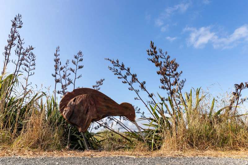
The easiest walks in Katikati start in town and stay flat: the Haiku Pathway beside the Uretara Stream, the Bird Walk along the estuary and the esplanade reserves in between.
The sculptures are part of Katikati Open Air Art's collection, the same group behind the town's paintings, so the Bird Walk pairs well with the murals behind and along Main Road.
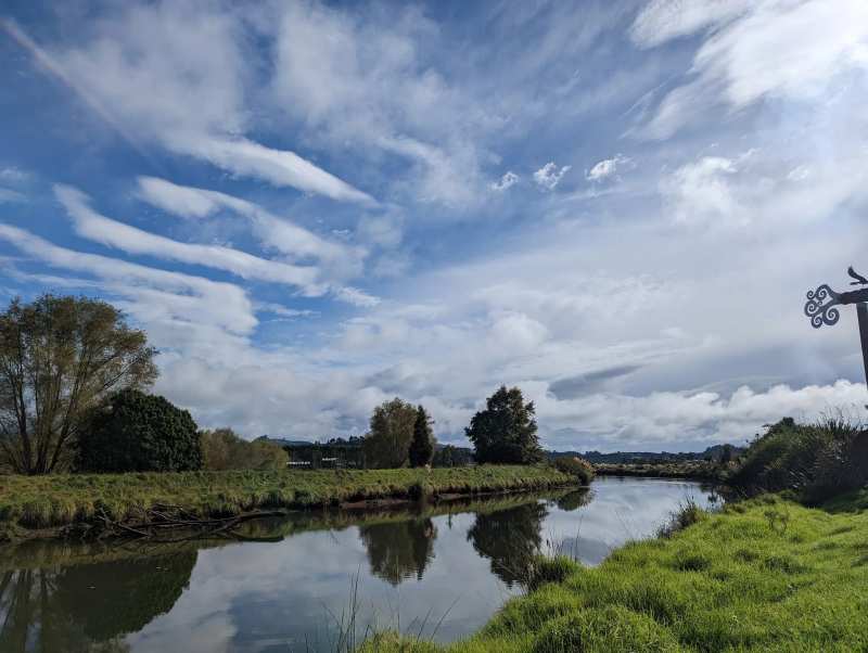
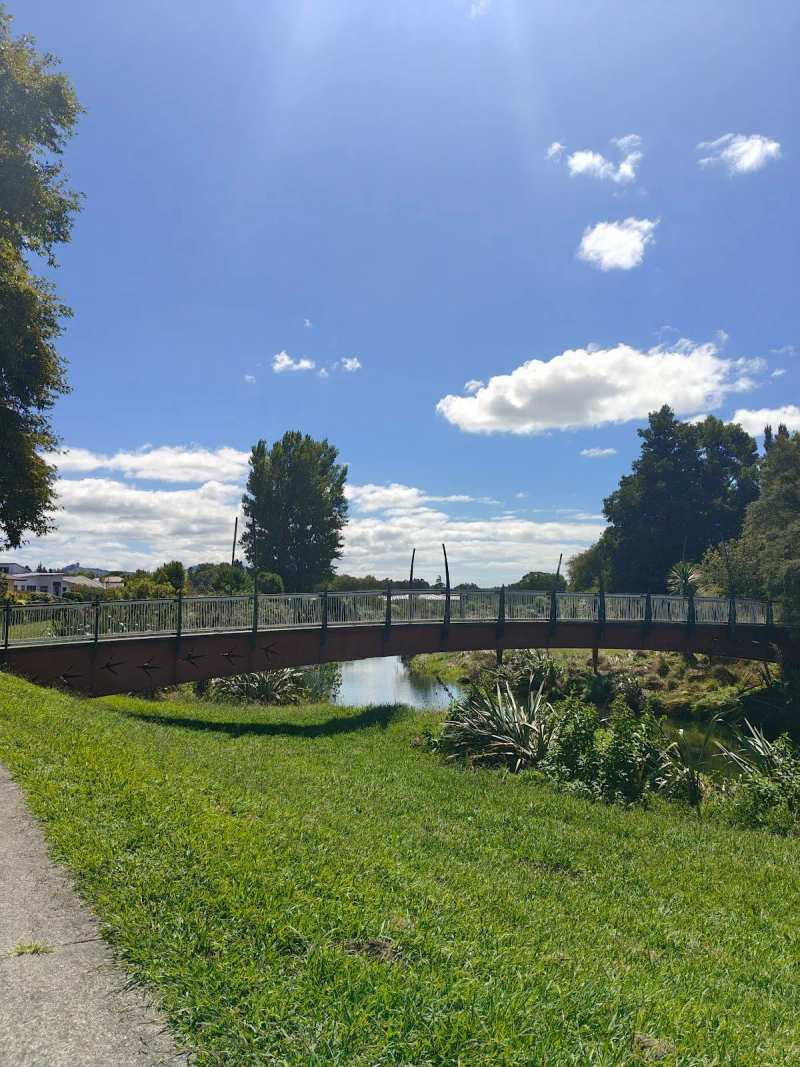
The Haiku Pathway is the other in-town walk. It follows the Uretara Stream through Haiku Park past more than 40 haiku carved into river boulders, and a longer loop crosses the footbridge and follows the concrete path on the far bank out to Main Road and the Landing.
Park for the Haiku Pathway by taking the lane between Robert Harris and Hammer Hardware off Main Road. The path is flat apart from a steep section between Main Road and the car park, and the nearest public toilets are at Diggelmann Park across Main Road.
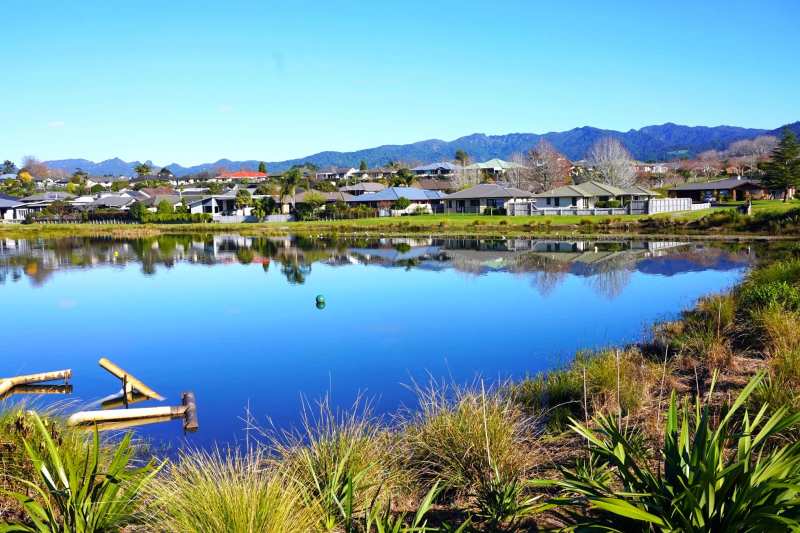
Two smaller reserves round out the in-town network. Waterford Reserve on Mulgan Street is a small neighbourhood green space, and there is another esplanade reserve further north on Francis Drive.
Harbour walks at the end of Beach Road
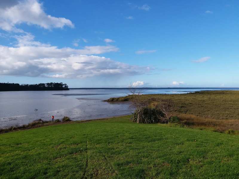
At the end of Beach Road, the MacMillan Reserve loop and the Tamawhariua foreshore walkway give about 2.4 km of flat walking with open harbour views towards Matakana Island.
The Beach Road loop is a local favourite for walking or cycling because it is flat and the scenery keeps changing. It starts on open grass, moves onto a solid walkway, then runs through bush and orchards until it meets Beach Road, where a short walk along the road brings you back to the car park.
The MacMillan Reserve car park at the end of Beach Road has basic toilets and freedom camping. Dogs must be on a leash on the loop itself, and the ground is flat but uneven in places, so wear shoes rather than jandals.
Right beside it, Long Beach is the place for a paddleboard at high tide, and at low tide it becomes a view across the flats instead.
Park Road Reserve and the estuary
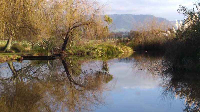
Park Road Reserve, at the northern end of the Park Road peninsula, has walking tracks along the estuary through restored wetland.
The Francis Drive Esplanade Reserve nearby gives another short stretch of estuary edge on the northern side of town.
Tuapiro Point
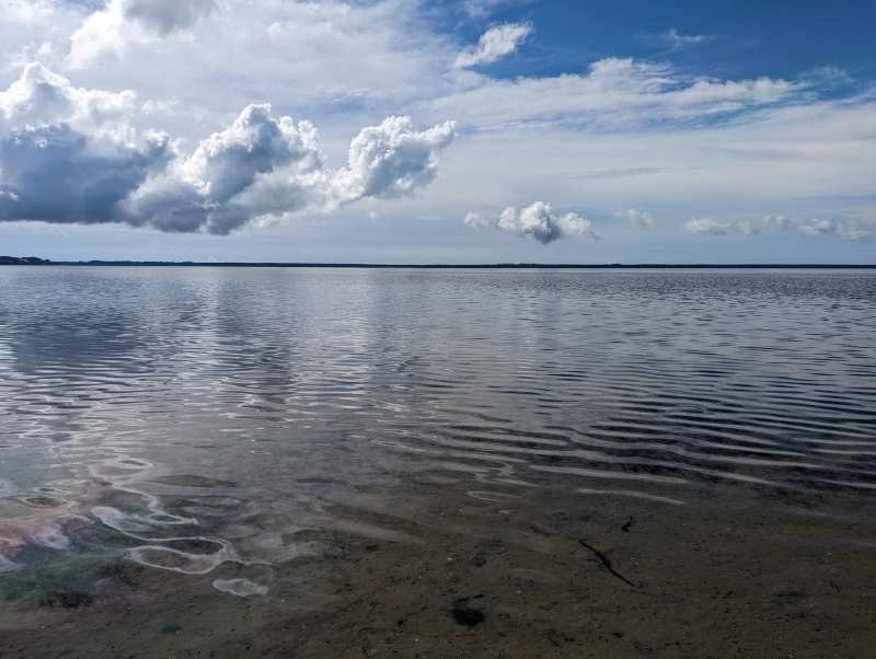
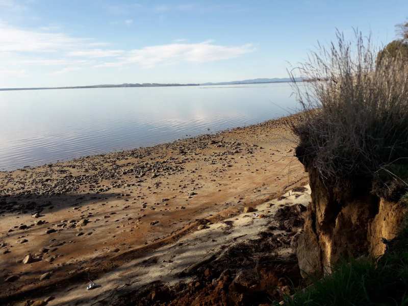
Tuapiro Point, north of Katikati, is a flat foreshore walk along a stretch of white sand to a point with views over shallow tidal water to Anzac Bay at Bowentown and the harbour bar by Matakana Island.
Start from the car park by the toilet block, or from the grass car park for a longer walk. Around the point the water deepens, which dogs love for a swim, and trails lead back through the pines for a forest walk with glimpses of the sea. The beach and forest paths run side by side, so you can cut the walk short at any time.
Keep dogs on a leash here: horses are exercised on the beach. Tuapiro Point has parking, toilets and freedom camping.
Walking with dogs in Katikati
All four of Katikati's main town and harbour walks allow dogs on a leash, and the dog park at Donegal Reserve is reachable straight from the Haiku Pathway.
The Tamawhariua foreshore walkway has signposted off-lead sections. Everywhere else, assume a leash is required where no sign says otherwise, and at Tuapiro Point keep dogs close because of the horses.
Timing a harbour walk with the tide
The harbour walks change with the tide. At low tide the estuary becomes mudflat and wading birds feed on it; at high tide the water comes up to the foreshore. Checking the tide first is the difference between a beach walk and a mudflat walk.
Low tide is best for birdwatching along the Bird Walk and Park Road Reserve. High tide is best for paddling, swimming and the views at Long Beach and Tuapiro Point.
Waitekohe Recreational Park
Waitekohe Recreational Park on Thompsons Track, about 15 minutes' drive south of Katikati, is the bridge between town walks and the Kaimai tracks.
Kaimai bush tracks near Katikati
For a longer day, the Kaimai Mamaku Conservation Park tracks start in the range west and south of Katikati, from easy forest loops to a rock scramble and an overnight hut.
Check the Department of Conservation website for track status before you go. Kaimai tracks can close after storms, stream crossings are harder after rain, and cloud can settle on the tops even on a fine day in town.
Aongatete Long Loop
The Aongatete Long Loop Track, from the end of Wright Road, is about 7 km through rimu and fern groves, rated moderate, and takes about two to two and a half hours. The signage is easy to follow and there are several stream crossings, with fallen trees in places. Walking clockwise, a short side track near the end leads to waterholes deep enough for a dip, and in the colder months the forest floor fills with mushrooms. There is a car park and a large information board at the start.
A longer version, the Aongatete Long Loop and Waterhole Track, is about 10 km and takes two and a half to three hours.
Lindemann Loop Track
The Lindemann Loop Track starts and ends at the end of Lindemann Road and circles the Wairoa Valley, about 10 km and roughly three and a half to four hours. Expect steep sections and several stream crossings, and watch for kererū in the forest canopy.
Sentinel Rock
Sentinel Rock is the hardest of the popular tracks: about 6 km, three to four hours, climbing to a lookout over the conservation park and the valley. You can stop at the lookout or continue to the top of the rock, where the climb is steep and you will need your hands to scramble. Follow the orange markers.
Tuahu Track and Te Rereatukahia Hut
The Tuahu Track starts at the Hot Springs Road end, near Sapphire Springs, and climbs steadily to the North-South Track junction. The route on to Te Rereatukahia Hut is more technical and exposed, with stream crossings and a real chance of cloud and wind. Hut bookings are required for an overnight stay.
Ananui Falls
Ananui Falls, a 106-metre waterfall in the Kaimai Mamaku forest, is about 5 km one way, or 2.5 hours each direction at a medium pace, with 243 metres of climbing. Allow a full day for the return trip.
The longest route
The longest trail around Katikati links the Wharawhara Track with the North-South Track along the range, close to 30 km. It is a serious tramp for experienced, well-equipped walkers, not a day stroll.
Bush walks at Sapphire Springs
If you want bush without a Kaimai day hike, the tracks through the native forest at Sapphire Springs are included in the entry price for its pools, so a soak and a walk can be the same outing. The park covers 32 hectares at the foot of the range, beside a stream.
Katikati's growing trail network
Katikati's walking network is still growing. The Katikati Trails Development Group works with Western Bay of Plenty District Council on new walkways and cycleways, focusing first on urban trails. There are already about 20 km of off-road and on-road tracks around the town, taking in harbour views, the Haiku Pathway and the Bird Walk sculptures.
Toilets, parking and camping for Katikati walks
Public toilets for town walks are at Diggelmann Park on Main Road, and the Beach Road reserves and Tuapiro Point both have toilets at their car parks. The Bird Walk has none.
Diggelmann Park at 79 Main Road is the town's pull-over stop, with toilets and room to park.
For self-contained campers, Uretara Domain on Major Street has a freedom camping area with public toilets and a free dump station with water.
If the walks are part of a bigger day, an orchard tour, a gin distillery or the Bird Gardens are close by.
And if you are still getting your bearings, it helps to know you are in a town set between orchards and a tidal harbour, with the Kaimai Range on one side and the sea on the other.
Frequently asked questions
Published August 2, 2026