Twice a day the sea comes into the top of Tauranga Harbour and fills the shallow flats in front of Katikati, and twice a day it drains away again, leaving mud, sand and wading birds where there was water a few hours earlier. If you want to swim, paddleboard, launch a boat or even just see water rather than mudflat, Katikati tides decide when.
Here is what the tide does at each spot on the harbour edge, where to get tide times you can rely on, and how to plan a day around high and low water.
Katikati tides in one minute
Katikati has two high tides and two low tides a day, and the water rises and falls by roughly 1 to 2 metres between them, uncovering wide mudflats at low tide.
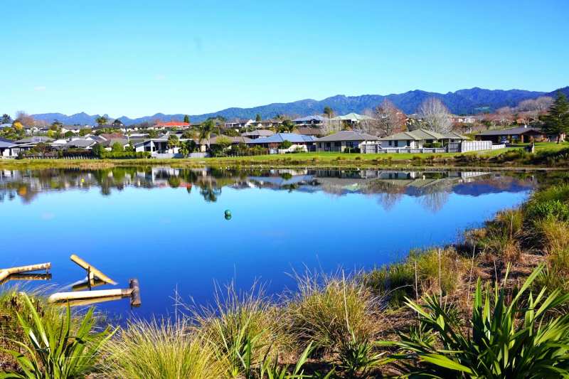
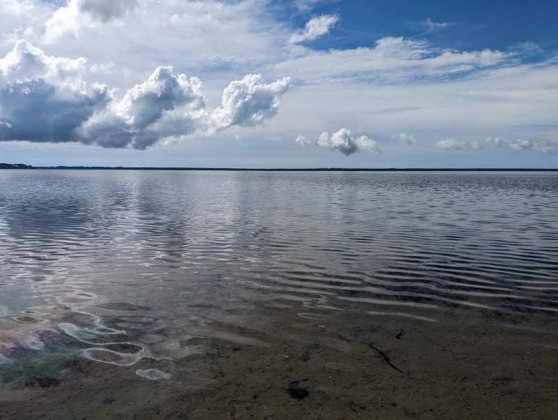
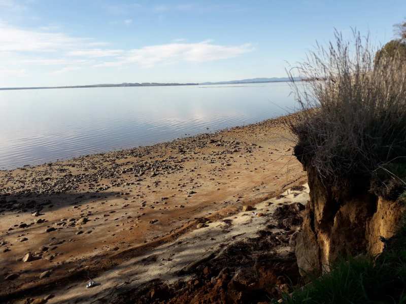
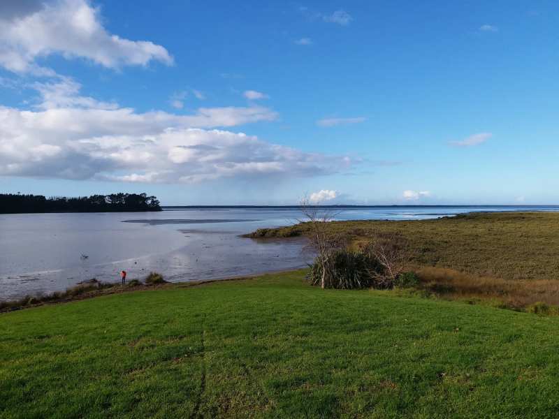
The harbour here is shallow, so a change of a metre and a half of water makes a big visual difference. At high tide the water reaches the foreshore and the stream mouths look full. At low tide the channels narrow, the estuary becomes mud and sand, and the edges of the harbour move out a long way.
Tide times move later each day, typically by about 45 minutes to an hour, so a high tide at 11am today will be close to noon tomorrow. That is why the beach has no fixed good hour, and the day's tide table matters.
How big are the tides at Katikati?
The official reference for the harbour is the Tauranga standard port, where Land Information New Zealand records a spring tide range of 1.75 metres and a neap tide range of 1.09 metres.
Spring tides come around the full and new moon and bring the highest highs and lowest lows, which is when the flats in front of Katikati are most exposed at low water. Neap tides, around the half moons, give a smaller rise and fall. At the Tauranga port, the average spring high water is 1.96 metres and the average spring low water 0.21 metres above chart datum.
Tide websites that give a Katikati page typically show highs of about 1.5 to 1.9 metres and lows of under half a metre, in line with those figures.
Where to check today's Katikati tide times
Land Information New Zealand publishes the official tide predictions for the country, and it is a more reliable source for Katikati tide times than a weather app's generic tide feature.
LINZ publishes daily predictions for Tauranga and for Ōmokoroa, the nearest daily station to Katikati on the harbour. It also lists a secondary port for the northern end of the harbour called Bowentown - Katikati Entrance, with time and height corrections from the Tauranga predictions.
Many free tide websites with a "Katikati" page estimate their times from the Tauranga station rather than a local gauge, and say so in the small print, so treat them as a guide rather than gospel. LINZ itself notes that the predictions on its website are not official tide tables for navigation, so boaties should use nautical publications as well.
Launching a boat at Katikati
Launching from Katikati is easiest around high tide, because the upper harbour is shallow and the channels narrow sharply as the water drops.
The Beach Road boat ramp is on Beach Road at the town end of the estuary, close to the Katikati College grounds. Plan to launch and retrieve with water in hand rather than cutting it fine on a falling tide, and ask locals about the channel if it is your first time.
Beyond the upper harbour, the entrance at Bowentown opens past Matakana Island to the Bay of Plenty. Harbour entrances and bars are a different proposition from the calm upper harbour, so check the marine forecast and local advice before heading that way.
Swimming and paddleboarding at Katikati
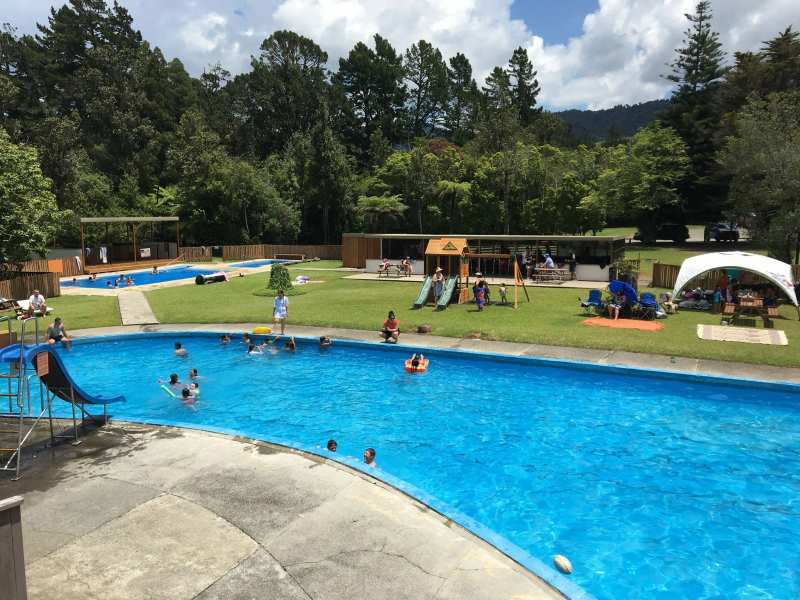
Long Beach, near the end of Beach Road, is best for swimming and paddleboarding around high tide; at low tide it becomes a shallow estuary to look across rather than swim in.
The harbour water is cool for much of the year. Tide websites that estimate sea temperature put it around 14 to 16°C in winter and closer to 19°C by late summer, so a wetsuit extends the paddleboarding season considerably.
Children do well on a rising or high tide, when the water is shallow and calm along the foreshore. Watch for soft mud at the water's edge on a falling tide.
Walking the foreshore at low tide
Low tide is the time for the estuary and foreshore walks, when wading birds feed across the exposed flats. That makes a low-tide walk along the estuary the best way to see the harbour's birdlife.
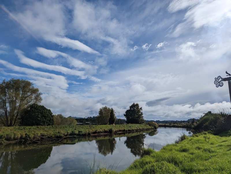
In town, the seats at Uretara Landing Reserve beside Main Road look straight onto the Uretara Stream, the easiest place to watch the water rise and fall without leaving the shops.
North of the township, the estuary tracks through restored wetland at Park Road Reserve make a good low-tide birdwatching walk.
Tides, wind and weather together
The tide table is only half the picture. Strong wind pushes water up or holds it back, and a big spring tide with an onshore wind can bring the water higher than predicted. Looking at the wind and the forecast alongside the tide is part of planning a paddle or a launch.
Forecasts for Katikati often show westerly and south-westerly winds, which blow across the harbour from the direction of the Kaimai Range. Shallow water chops up quickly in a breeze, so a calm day with a high tide is the best window of all for paddleboarding.
Planning a day around the tide
A simple rule works for most visitors: do the water things around high tide, and the walking and birdwatching around low tide.
On a morning high tide, paddle at Long Beach, then spend the afternoon on the rest of a day in Katikati, from the murals to an orchard tour. On a morning low tide, walk the estuary first and save the water for later in the day.
Either way, you are in a harbour town at the mouth of the Uretara Stream, and the tide is part of how the place works.
Frequently asked questions
Published July 19, 2026