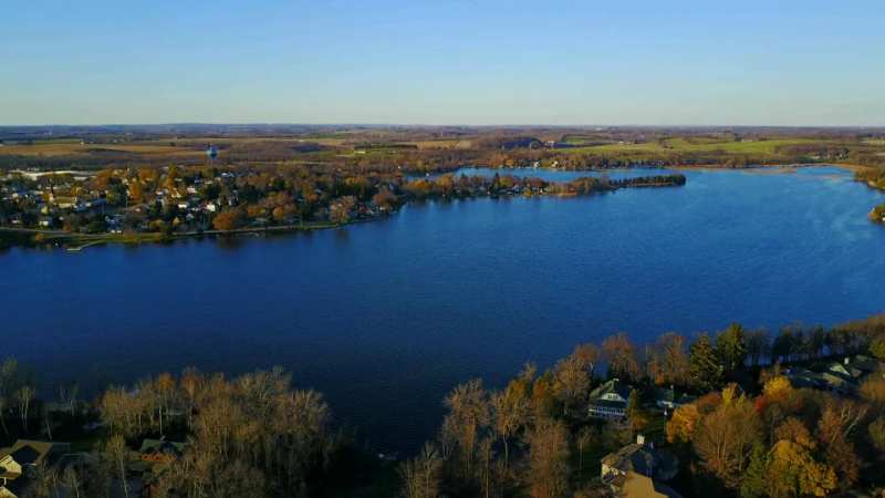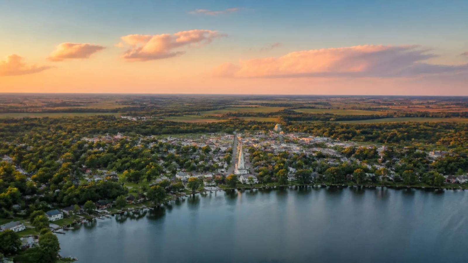
Here is the one-sentence version you can repeat to somebody. Where is Random Lake WI: in Sheboygan County, on State Highway 57, about 45 miles north of Milwaukee and roughly 10 miles inland from Lake Michigan.
The rest of this page is the detail underneath that, plus what sits within a half-hour of it, because the second question is usually what else is out there.
The facts, in the form people ask for them
County: Sheboygan. Zip code: 53075. Highway: State Highway 57 runs straight through it. Size: about 1.4 square miles of land. Population: 1,561 at the 2020 census, with village estimates a little under 1,600 since. It falls inside the Sheboygan metropolitan statistical area, which surprises people given how rural it feels.
Green Bay is roughly 87 miles north. Chicago is a long way further south and is a day trip only if you are committed to it.
Driving in
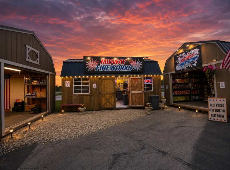
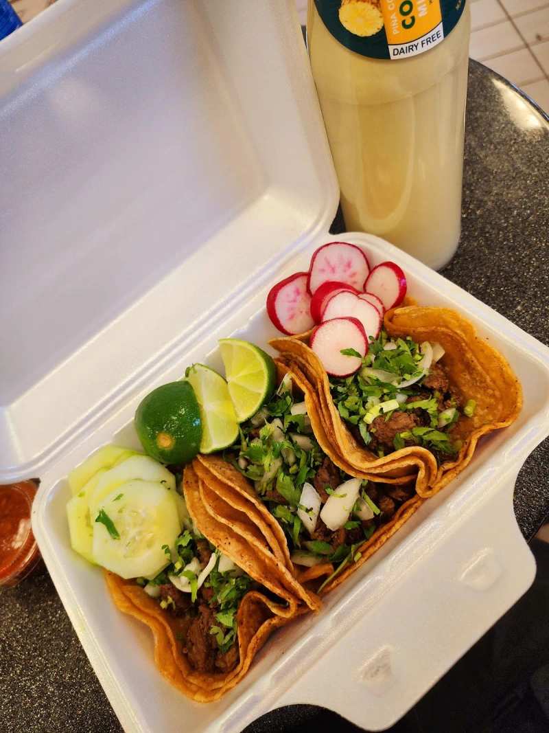
From Milwaukee the route is Highway 57 most of the way north, and 57 is also the village's main street, so you arrive in the middle of it rather than on a bypass. That is worth knowing, because the first thing you pass is not a welcome sign but the businesses themselves: the fireworks stand, the motel and a taqueria all sit on the highway as you come in.
From Sheboygan you come in from the north-east, about 18 miles across farmland. From Plymouth it is roughly 13 miles south. From the Lake Michigan shore towns, Belgium and Cedar Grove, it is a short run inland on county roads rather than highway, and those are the prettier approaches if you are not in a hurry.
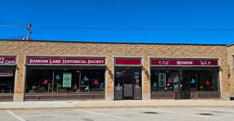
There is no passenger rail here despite the railroad being the whole reason the village exists. The line that created the place carried freight and people from the 1870s; today the old depot is a museum and the nearest airports are Milwaukee and Green Bay. You will be driving.
What sits around it
This is a well-populated corner of Wisconsin and Random Lake is not isolated, whatever its size suggests. Straight-line distances, nearest first.
Under 8 miles. Fredonia sits 5.7 miles south, and has the certified adaptive kayak instruction that Random Lake has no equivalent of.
Belgium is 6.6 miles east and is the closest this area gets to Lake Michigan, with a quarry pond of its own.
Adell lies 6.8 miles north, Cedar Grove 7 miles north-east, and Cascade 7.6 miles north-west, the last of them holding a state wildlife area.
Between 9 and 19 miles. Oostburg is 9.7 miles north-east. Plymouth, 13.5 miles north, is the nearest town with real shopping and a choice of places to stay, plus a deli worth the drive.
West Bend lies 14.2 miles south-west and is the largest place within easy reach, down to its own small restaurant scene.
Sheboygan is 18.5 miles north-east on the lake, and is where you go for a city, a Hmong bakeshop included.
Those are straight-line figures rather than road distances, and we do not publish drive times because we have no routing data and a wrong one is worse than none. Roads here are flat and direct, so the road distance is usually close to the straight line.
The practical read on that list: almost everything within eight miles is smaller than Random Lake or about the same size, so you are not going to find more shops or more choice by driving to one of them. What they have is different rather than more, which is why the day-trip logic here runs toward Plymouth, West Bend and Sheboygan rather than toward the villages.
It is also why the Sheboygan metropolitan statistical area label misleads people. Random Lake is administratively part of a metro area and functionally part of a farming county, and on the ground the second description is the accurate one.
Getting around once you are here
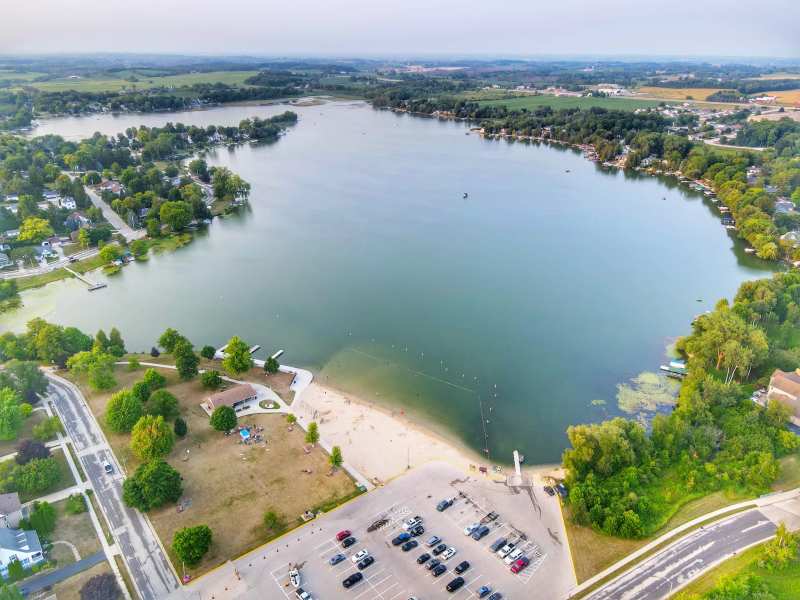
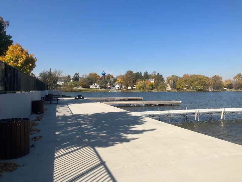
One and a half square miles means you can park once and walk. Carroll Street and 2nd Street hold the shops, the cafes, the bars, the museum and the arts collective between them, all within a few hundred yards. The beach and the lakefront park are a short walk east.
Two things need a car. The pottery and forge at Silver Creek is four miles west on Highway 144, out where the township's old third village used to be. And the scattered public land along the North Branch of the Milwaukee River is parcels rather than a park, with no waymarking and nowhere obvious to leave a vehicle.
There is no public transport within the village and no taxi rank. The nearest villages are Belgium seven miles east, Cascade 7.8 miles north-north-west on the edge of the Kettle Moraine, and Plymouth fourteen north.
The closest of the three has its own orientation guide, and the run down to Milwaukee from Belgium covers the county roads better than a map does.
For the Kettle Moraine side of the compass, there is where Cascade sits. Plan accordingly if you intend to spend an evening in the bars.
Where to aim for
If you have one afternoon, aim for the lakefront park on Russell Drive and work back into the village on foot. If you are here on a weekday morning, start at the depot before it closes at midday and take breakfast on Carroll Street first.
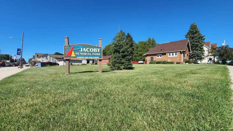
Once you have arrived, there is the lake, five parks, two museums and a forge to work through.
Timing matters more here than it does in a city, because the year runs to about 136 comfortable days.
Most of them fall inside a Thursday habit and two big weekends.
Published September 14, 2026