North of the casino, Highway 13 runs on into forest, and a signed, unpaved road turns off toward the lake. At the end of it is Frog Bay Tribal National Park: cedar and birch forest, a ravine with a footbridge, and a long sand beach looking straight out at the Apostle Islands. It is small, quiet and easy to miss, and it is owned and cared for by the Red Cliff Band of Lake Superior Chippewa.
Here is what the park is, the three trails and how to choose between them, what to know before you go, and how to fit it into a stay in Red Cliff.
Sponsored
What is Frog Bay Tribal National Park?
The land was reservation land before it passed into private hands. The Band bought it back in two parcels, one in 2012 and one in 2017, working with the Bayfield Regional Conservancy, which holds a conservation easement on the property.
Part of it came from a Madison couple, David and Marjorie Johnson, who had bought 40 acres at a county auction in 1980. David later recalled hearing that the tribe wanted the land back then but did not have the money to bid, and selling it to the Band closed that circle.
The park is run by the Band's Treaty Natural Resources Division, and it won the Governor's Tourism Award for Stewardship in 2019. It sits inside a larger, 300-acre protected area, the Frog Creek Conservation Management Area, adopted by the tribal council in 2017. Only the national park part of that area is open to the public; the rest is for tribal members.
Day-to-day care is shared. A committee of elders, natural resource staff, tribal government representatives and conservancy staff oversees the park, tribal crews and volunteers maintain the trails and roads, and tribal wardens enforce game rules on the land.
The three trails to the beach
The park's 1.7 miles of rustic trail come as three routes, from a flat old road to a hilly loop through a ravine, and all of them reach the beach. Trail junctions are marked, and signs along the way name the plants and animals in Ojibwe and English, so you leave knowing a few words you did not arrive with.
1. The Easy Trail
The Easy Trail follows the old sandy access road, flat and wide, and reaches the beach in under half a mile. It is the route to take if you are carrying a cooler, beach chairs or a small child.
The trade-off is shade. The road is open to the sky, so on a hot July afternoon it is the warmest walk in the park, and the plants along it are less interesting than in the forest. Walk it in, then take the Beach Trail back for a change of scene.
2. The Beach Trail
The Beach Trail runs through wet cedar forest on a walkway built from logs, with ferns, moss and, in late spring, wildflowers along it. It connects to both the Easy Trail and the Ravine Trail and comes out on the sand.
This trail changes with the weather more than the others. After rain, parts of the log walkway sink into mud and get slippery, and one hiker described sinking into the mud more than once in a wet June. Wear boots you do not mind getting dirty, and give it a day after a heavy storm.
3. The Ravine Trail
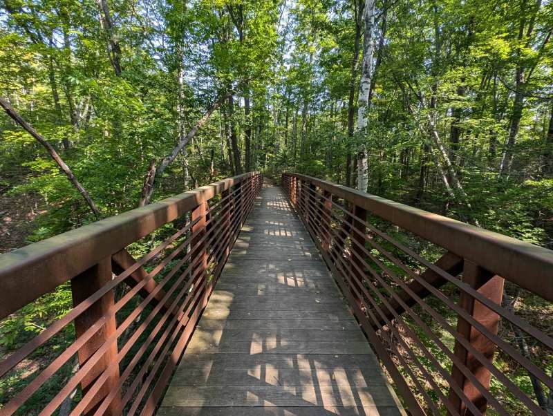
The Ravine Trail is about a mile long and starts at a footbridge over a ravine, which makes it look like an easy stroll for the first hundred yards. After that it climbs and drops through the ravine and is rated moderate, the hardest walk in the park but nothing a regular hiker will find hard.
In fall this is the trail to choose. The birch and maple on the slopes turn color while the cedar stays green, and the ravine keeps the wind off on a cold October day.
The beach and the view
All three trails end on an undeveloped sand beach along Frog Bay, facing five of the Apostle Islands: Bear, Oak, Stockton, Michigan and Hermit. There is no building, no lifeguard and no concession on the beach, just sand, driftwood and the lake.
The bay is sheltered, and sailors who anchor here have long noticed the water is warmer than the open lake. In July and August a swim feels reasonable; the rest of the year it stays a paddle at the edge. The beach is also open to people who arrive by boat, so you may share it with a kayak or two.
What the park protects
The protected area around Frog Bay guards the headwaters of the Frog Creek watershed, and the park itself covers boreal forest, wetland and about a mile of stream corridor running down to the lake. Interpretive signs along the trails explain the ecology of the forest and why it matters culturally to the Red Cliff community.
The Band frames the park around water and Lake Superior's place in Anishinaabe life, and the land itself carries history. All of this area belonged to the Anishinaabe before allotment under the Dawes Act of 1887 broke it up, which is why buying it back meant something more than adding a park.
Walk slowly and look down and out. The cedar swamp along the Beach Trail, the moss on fallen logs and the birds working the forest edge are as much the point as the beach.
Visiting with kids or with an hour to spare
With children or limited time, take the Easy Trail straight to the beach and back, or the boardwalk loop that one reviewer described as about half a mile through dense forest, then walk along the shore. There is close to a mile of shoreline to wander once you reach the sand.
Pack the basics for a beach with no services: water, snacks, a towel and a bag for trash. Keep children close on the boardwalks after rain, when the logs are slick.
Before you go: rules and facilities
The park is open from sunrise to sunset, with free parking and a toilet at the trailhead and no facilities beyond it. Bring water, snacks and sunscreen, and pack every scrap of trash back out; the Band asks visitors to leave no trace.
Sturdy shoes beat sandals on all three trails, and a light layer helps even in summer, since the breeze off the lake keeps the beach cooler than the forest. If you plan to bring a dog, check the Band's current park rules before you do.
The park is for foot traffic only, with no vehicles or ATVs anywhere in it, even on the old road, and there is no camping in the park. Turn back at any boundary sign, because the conservation area and private land border the park on several sides.
The trails are rustic, with roots, logs, a footbridge and hills, and are not built for wheelchairs or strollers. Tribal police enforce park hours, and the Band's elders and natural resource staff help oversee how the land is managed, so treat the rules as theirs to set.
Getting there from Red Cliff
Frog Bay is 3.7 miles north of the Buffalo Bay campground and about 7 miles north of Bayfield. Take Highway 13 north past Legendary Waters and follow the signs onto Frog Bay Road; the last stretch is unpaved, so take it slowly after rain.
Phone signal is unreliable on this end of the peninsula, so load a map before you leave the casino. If you are coming from the north, Point Detour is 5.4 miles beyond the park along the same shore.
When to go to Frog Bay
Fall is best for the forest walk, July and August for the beach, and winter for snowshoeing on quiet trails. Spring is the muddiest season, with snowmelt soaking the boardwalks and the early mosquitoes arriving.
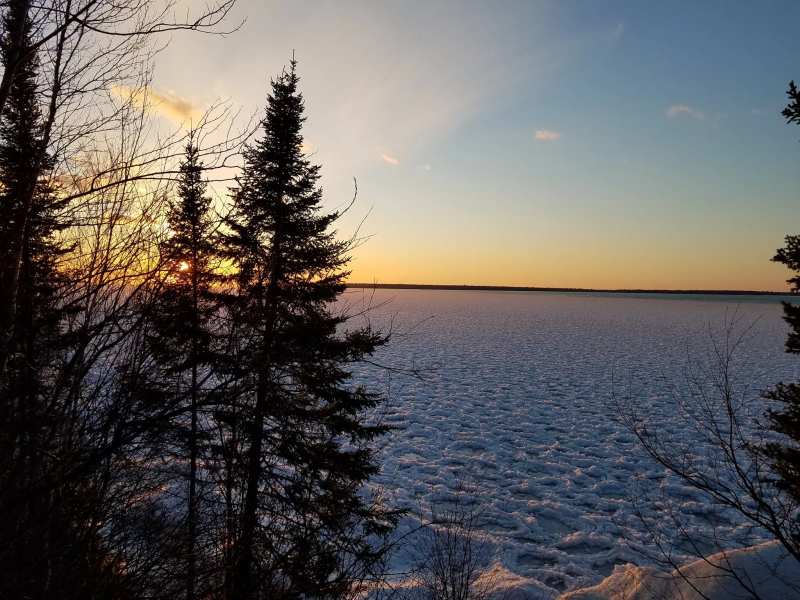
June and early July bring black flies and mosquitoes in the woods, so carry repellent until the frosts come. In winter the trails are open for snowshoeing, with deep snow and very few other people, but the unpaved access road may not be cleared quickly after a storm, so check conditions before you drive in. Fall color usually peaks around the second week of October, and the fall color and snowshoe season on the peninsula is when the park feels most like a secret.
Where to stay near Frog Bay
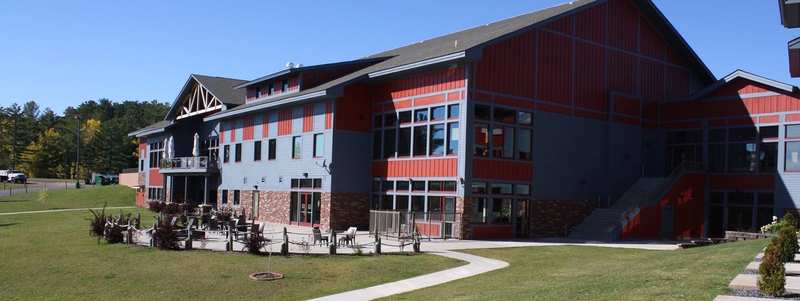
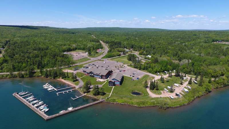
There is no camping in the park, but the Band runs two campgrounds on either side of it, and Legendary Waters has hotel rooms by the bay.
Point Detour suits tent campers who want the park to themselves in the early morning. Bring firewood and water, because there is nothing to buy out there.
Comparing Red Cliff’s two campgrounds side by side helps if you are deciding between hookups and solitude.
Pair Frog Bay with the rest of Red Cliff
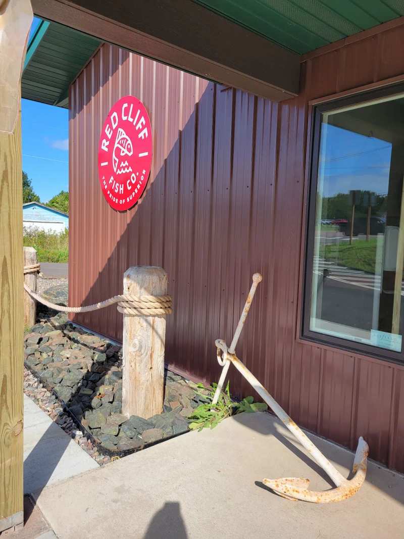
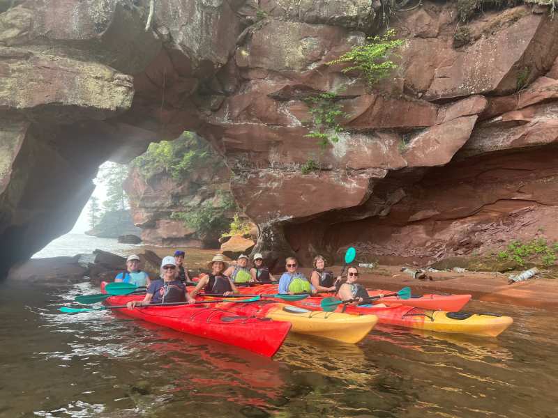
Make a day of it with lunch from the dock: smoked whitefish from Red Cliff Fish Company makes the best beach picnic on this shore. See the same coastline from the water with a guided paddle from Makwa Den, based beside Buffalo Bay.
Finish with whey vodka and apple brandy at Copper Crow on Highway 13.
Before or after, read up on the Red Cliff Reservation and the Band that cares for this place.
More to do in Red Cliff
Frog Bay is one stop on a short stretch of shore. The history wall, the pow wow, the fish market and the kayak trips make up the rest of Red Cliff, all within a few miles of Buffalo Bay.
Frequently asked questions
Published October 5, 2026