Three railroad tunnels cut through the ridges between Sparta and Elroy, and the longest of them sits about four miles up the grade from Norwalk. The Elroy-Sparta Trail follows the old Chicago and North Western line through those tunnels for 32.5 miles, and Norwalk is the village in its western half where many riders stop to eat.
This page rides the trail from Norwalk in both directions: northwest to Tunnel 3 and Sparta, and southeast to Tunnel 2, Wilton, Kendall and Elroy. It covers where to park, what the pass costs, how the tunnels work, where to camp and which way to ride if you have one day.
Sponsored
The Elroy-Sparta Trail in brief
The Elroy-Sparta State Trail is a 32.5-mile rail trail of crushed limestone between Sparta and Elroy, run by the Wisconsin Department of Natural Resources. It passes through five communities, Sparta, Norwalk, Wilton, Kendall and Elroy, and through three hand-dug rock tunnels built between 1870 and 1873. It opened to the public in 1967 and is widely considered the first rail trail in the United States.
The line once carried six passenger trains and 40 to 50 freight trains a day between Elroy and Sparta. Passenger service ended in 1953 and freight in 1964, and the state bought the abandoned corridor for $12,000. By 1970 the surface had been laid with crushed limestone and the bridges planked, and in 1971 it became a National Recreation Trail.
At Sparta the path continues west as the La Crosse River State Trail, and at Elroy it meets the 400 State Trail and the Omaha Trail. Together those trails make a network of about 101 miles that riders call the Bike 4 Trails. This is the Driftless Area, the part of Wisconsin the glaciers missed, so the trail runs through steep wooded hills and narrow valleys, and it is one of the few flat surfaces around.
Starting from Norwalk
Start at the Norwalk trailhead on Railroad Street, buy a pass at the self-pay station, and choose your direction: northwest to Tunnel 3, or southeast to Tunnel 2.
Norwalk is a good place to start because it sits in the valley between two tunnels. You climb to Tunnel 3 or to Tunnel 2 on a gentle grade, walk through, and then have the downhill to look forward to on the way back to the village. Starting in Sparta means about eight miles of steady climbing before the first tunnel.
Norwalk to Tunnel 3 and on to Sparta
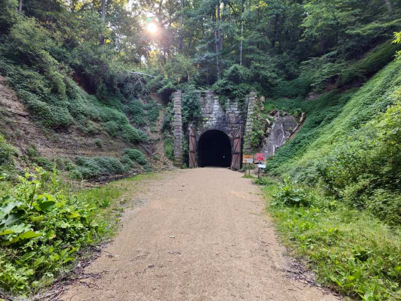
Tunnel 3 is about four trail miles northwest of Norwalk, and Sparta is 12.9 trail miles away, so this is the longest stretch of the whole trail. The first half climbs steadily to the tunnel and the second half drops into Farmers Valley and runs gently down to Sparta.
Out of the village the path heads northwest and crosses Moore Creek after 0.4 miles, then turns north through farm fields lined with trees. Between Moore Creek and County Road T it climbs more than 60 feet in about a mile, then enters the woods and rises another 80 feet in half a mile. McCrary Lake shows through the trees on the right.
The last two miles to the tunnel climb more than 100 feet, with a creek valley and cattle pastures below on the right. After heavy rain, water washes loose sand and fine gravel onto the path in this section, and it can catch a fast rider coming down, so slow down on the return.
Just east of the tunnel is a rest area with restrooms, a hand-pumped well, picnic tables and benches, next to a little red watchman's shack with a marker explaining how the watchman opened the big doors and kept trains apart. Nearby are the remains of a stone flume built between 1907 and 1909 to carry water off the tracks, now crossed by a wooden bridge. On the west side of the tunnel there is a selfie stand put up by the state tourism office.
Past the west portal the trail drops about 160 feet in 0.4 miles through forest, passes under Highway 71 and enters Farmers Valley. From there to Javelin Road it falls another 225 feet over 3 miles, an easy coast along the valley side with the highway and Farmers Valley Creek below.
Near Sparta the trail passes a DNR walk-in campground, crosses Interstate 90 on a high bridge, and ends 0.7 miles past John Street at the Sparta trailhead. The Sparta depot was built in 1915 and now holds a gift shop that sells trail passes, with restrooms and drinking water outside. Sparta calls itself the Bicycling Capital of America, and a statue of a man on a high-wheel bicycle, Ben Bikin', stands downtown.
Norwalk to Tunnel 2, Wilton and beyond
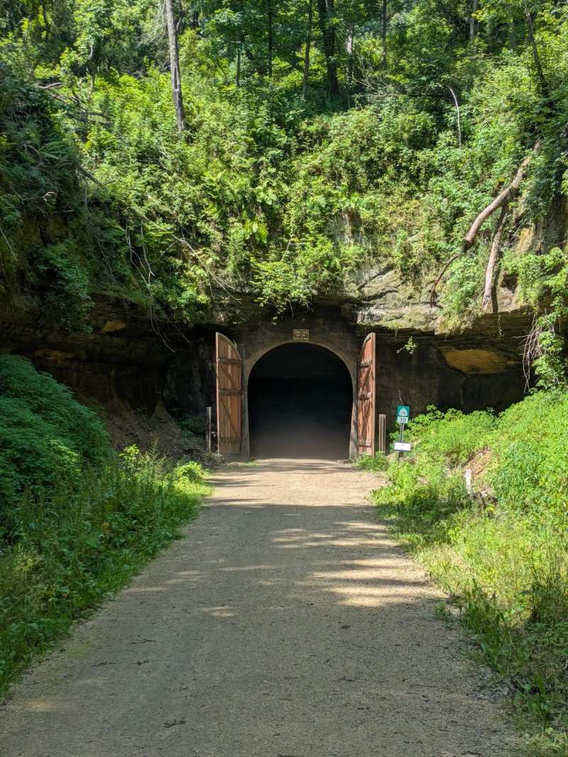
Southeast of Norwalk the trail climbs again for about 3.2 miles to Tunnel 2, which is 1,694 feet long and has 20-foot wooden doors at both ends. It sits roughly halfway between Norwalk and Wilton. This is the better choice for a short family ride: the climb is shorter, the tunnel is less than half the length of Tunnel 3, and the walk through it is quick.
Past Wilton the trail climbs 3.8 miles to Tunnel 1, which is 1,649 feet long and the driest of the three. From Tunnel 1 it is a 3.3-mile downhill run to Kendall, where the restored depot is the trail headquarters, with a railroad museum, trail passes and bike rentals. The last 6 miles from Kendall to Elroy are mostly flat and open farm country.
Wilton has a village campground a few blocks off the trail at the end of East Street, and Tunnel Trail Campground sits right on the path east of the village, with tent and RV sites, bike rentals and a pool, open May 1 to October 15. Sections of the trail between Kendall and Elroy have closed in past years for washed-out bridges, so check the DNR property notices before you plan a ride to the far end.
The three tunnels
All three tunnels are unlit, all three require you to walk your bike, and all three close every year from November 1 to April 30.
- Tunnel 1, near Kendall: 1,649 feet, the driest of the three.
- Tunnel 2, between Norwalk and Wilton: 1,694 feet, with 20-foot wooden doors at each end.
- Tunnel 3, between Norwalk and Sparta: 3,810 feet, the longest and by far the wettest.
The doors were added by the railroad to keep winter freeze and thaw from damaging the rock, and watchmen once opened and closed them for every train. Today they stay shut all winter, and snowmobiles take a detour around them.
Tunnel 3 is also a bat roost: the northern long-eared bat, listed as threatened in 2015, hibernates inside, and the closing date was moved earlier to protect it. Riders have reported signs at the portals banning clothing and gear worn in other caves and mines, a rule meant to keep bat disease out of the tunnels. Wear shoes and gear that have not been underground anywhere else.
In practice, every rider needs their own light. Without one you cannot stay in the middle of the floor in Tunnel 3, and the edges drop into drainage gutters full of running water. Keep to the right, call out when you pass, and let the people coming toward you know you are there.
Trail pass, parking and shuttles
Anyone 16 or older riding a bike on the trail needs a Wisconsin state trail pass, which costs $5 for the day or $25 for the calendar year. Walkers and hikers do not need one, and neither do cross-country skiers. You can buy a pass online from the DNR, at the depots in Sparta, Kendall and Elroy, at the self-pay stations at the trailheads, and at some local businesses.
Parking is available at the Norwalk trailhead at 101 Railroad Street, the Sparta depot at 111 Milwaukee Street, the Kendall depot at 113 White Street, the Sparta DNR campground lot at 9890 Imac Avenue, and the Elroy trailhead on State Highway 82. The DNR posts a trail map and maps of its two walk-in campgrounds online, so download them before you lose signal in the valleys.
Speed's Bicycle Shop at 1126 John Street in Sparta rents bikes and runs shuttles along the Elroy-Sparta and La Crosse River trails. Its posted hours are Monday to Friday from 8 am to 4 pm and Saturday from 8 am to 5 pm. A shuttle lets you ride one way, for example Sparta to Norwalk with the long descent at the end, and be driven back to your car. Call ahead in summer.
Camping and sleeping near the trail
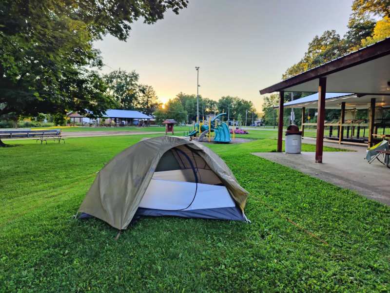
The Village of Norwalk Campground sits right on the trail between Tunnels 2 and 3, a few steps from the trailhead and Bailey's.
The DNR also runs two walk-in campgrounds on the trail, one near Sparta and one near Elroy, with fire rings, picnic tables, hand pumps and vault toilets but no firewood for sale. The Sparta site sits close to Interstate 90, and campers there mention the traffic noise, so pack earplugs.
Food after the ride in Norwalk
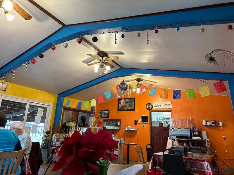
Norwalk has three places to eat within two blocks of the trailhead, and riders plan their day around them.
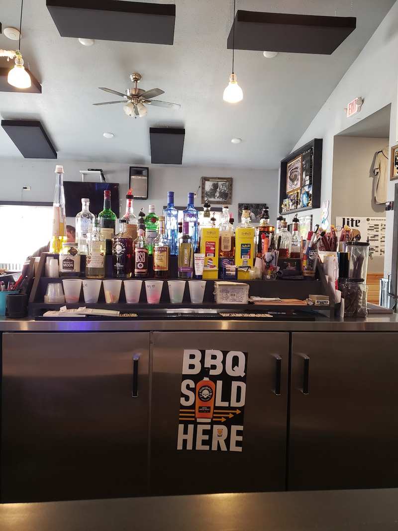
A block west, La Esperanza Mexican Store & Restaurant serves carne asada plates every day from 10 am to 9 pm and sells groceries for the next day's ride.
The Place Cunitz Tavern on Main Street keeps its grill going until 9:30 pm and serves weekend breakfast from 6 am, which suits an early start. A night in the village leaves time for things to do in Norwalk away from the trail, from an Amish quilt shop in the hills to the marathon on the first Sunday of October.
What to bring
The trail is easy to underpack for, because it looks like a gentle country ride on the map. Bring a real light for each rider, a rain shell for the drip inside Tunnel 3, and enough water to get between rest stops, since the hand pump at the Tunnel 3 rest area and the villages are your refill points.
Wider tires make the ride easier: the limestone is narrow in places, with ruts from farm crossings and soft patches after rain. Riders on road bikes manage it, but a hybrid or gravel bike with tires around 2 inches wide is more comfortable. Carry a spare tube and a pump, because the nearest bike shops are in Sparta and at the Elroy end.
Which way to ride, and when
If you have one day and one car, start in Norwalk and ride out and back to Tunnel 3, about eight miles round trip with the climb first and the coast home. If you want the whole trail, ride from Sparta toward Elroy only if you are fine with climbing much of the first eight miles, or book a shuttle and ride from Elroy toward Sparta.
One rider who did the full 34 miles with the tunnel walks reported that it took about five hours, because crushed limestone is slower than pavement and the three climbs add up. Plan for a slower pace than the mileage suggests, and carry water between the rest stops.
The tunnels open on May 1, and heavy rain leaves loose sand on the climbs, so the best months to ride tend to be later in the summer and into the fall, when the trail is dry and the hills turn color. Before any ride, check the DNR property notices for closures, since storms have shut sections of the trail in past years.
Frequently asked questions
Published September 28, 2026