Draw a line from Eau Claire to Wausau and Neillsville sits a little west of the halfway mark. So where is Neillsville, Wisconsin? It is a town of about 2,400 people on the Black River in Clark County, at the crossing of US Highway 10 and State Highway 73, in the middle of the state's farm and forest country.
Here is everything that helps you place it on a map and get there: the county, the roads, how far it is from the cities people drive in from, the airports, and where to sleep once you arrive.
Sponsored
Where Neillsville is
Neillsville is in west-central Wisconsin, in the southern half of Clark County. The town covers just under 3 square miles at an elevation of about 1,037 feet. The Black River runs along its west side, and O'Neill Creek, named for the town's founder, cuts through the middle on its way to the river.
Two highways meet here. US 10 runs east to west through town, as East and West Division Street, and is the main way in. Highway 73 runs north to south. South and west of town the farmland gives way to the Clark County Forest, around 135,000 acres of county-owned woods.
The town is on Central Time, and its ZIP code is 54456.
What county is Neillsville in?
Neillsville is in Clark County, and it has been the county seat since 1854, when the settlement was still known as O'Neill's Mill after the sawmill James O'Neill's party built on the river. It was platted the following year and incorporated as a city in 1882.
Being the county seat matters in practical ways. The county courthouse, the sheriff and the county's Forestry and Parks Department, which runs the ski hill, the forest trails and the county campgrounds, are all in Neillsville.
How far is Neillsville from...?
Straight-line distances from downtown Neillsville, measured from map coordinates:
| Place | Straight-line distance | Direction |
|---|---|---|
| Marshfield | 22 miles | East-northeast |
| Eau Claire | 50 miles | West |
| Wausau | 56 miles | East-northeast |
| Madison | 119 miles | Southeast |
| Minneapolis | 134 miles | West |
| Milwaukee | 170 miles | Southeast |
| Chicago | 238 miles | Southeast |
Road distances run longer. The city's own figures put the Twin Cities at about 155 road miles, Milwaukee at about 200 and Chicago at about 300, and the nearest Interstate, I-94, is about 29 miles away by road in either direction.
Marshfield, home to the large Marshfield Medical Center campus, is the nearest bigger town. Eau Claire, with its university and regional airport, is the nearest city.
Getting there by road
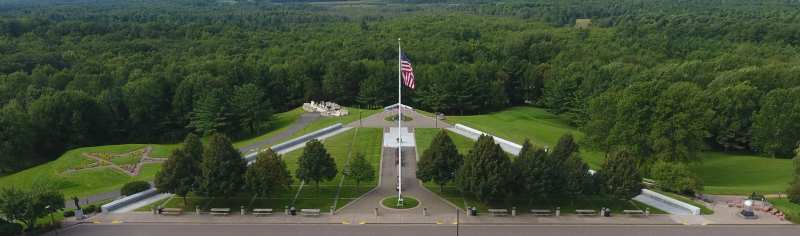
Most people arrive on US 10. From the west, leave I-94 at Osseo and follow US 10 east for about 29 miles; you pass the Highground memorial a few miles before town. From the southeast, leave I-94 at Black River Falls and head north, again about 29 miles.
From the east, US 10 comes in from Marshfield and Stevens Point. From the north and south, Highway 73 links Neillsville with the farm towns of Clark County and runs north toward Highway 29.
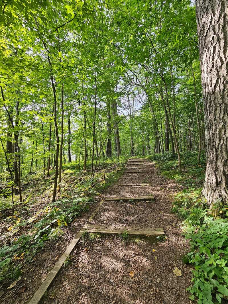
There is no passenger rail into town, so a car is the practical way to arrive and to get around once you are here. The forest trails and the ski hill are 9 to 12 miles out on county roads.
Driving in winter
From December to March, plan the drive around the weather. US 10 and Highway 73 are the main plowed routes, while the county roads out to the forest, the ski hill and the campgrounds are quieter and can stay snow-covered longer after a storm. Neillsville averages about 44 inches of snow a year and January lows near 5 degrees, so carry a winter kit, keep the tank topped up and check road conditions before setting out.
Wisconsin's 511 service publishes road conditions and closures for state highways, and it is the quickest way to check US 10 before you leave Eau Claire or Marshfield.
Getting around once you are here
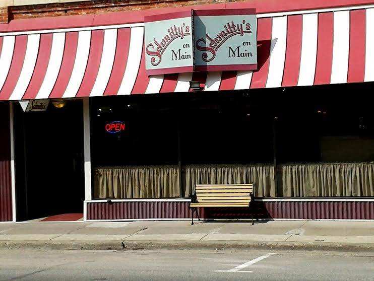
Downtown is small enough to walk. Hewett Street and the cross streets from 5th to 7th hold the breakfast spots, the bakery, the taverns and the 1897 jail museum, and the courthouse is a few blocks away.
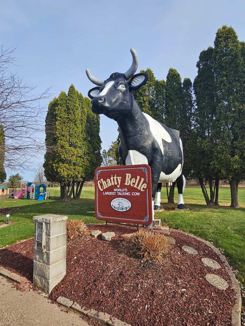
Everything else needs a car. Chatty Belle, the golf course and the hotel are strung out along East Division Street, the Highground is out on Ridge Road to the west, and the forest trails, campgrounds and ski hill are a 9 to 12 mile run southwest on county roads. Most of the places in this guide have free parking.
Flying in
Neillsville Municipal Airport (KVIQ), about 3 miles east of town on US 10, is a general aviation field owned by the city, with a single asphalt runway of 3,400 feet. It suits private pilots and small aircraft.
For scheduled flights, the nearest airports are Chippewa Valley Regional in Eau Claire, about 45 miles away, and Central Wisconsin Airport in Mosinee, about 60 miles away, by the city's figures. Minneapolis-St. Paul International is the nearest major hub.
The town at a glance
Neillsville had 2,384 people at the 2020 census. It is a working county seat rather than a resort town, with the courthouse, a hospital, schools and a technical college campus alongside a small downtown of brick storefronts on Hewett Street and the numbered streets that cross it.
Marshfield Medical Center runs a 32-bed hospital in Neillsville, which is worth knowing if you are heading into the forest. The rest of the town is laid out along East and West Division Street, which is US 10.
For groceries, Hansen’s IGA grocery on West 5th Street is open from 7 in the morning until 9 at night (8 on weekends), with a deli counter, local eggs and Nasonville Dairy milk and cheese.
Where to stay in Neillsville
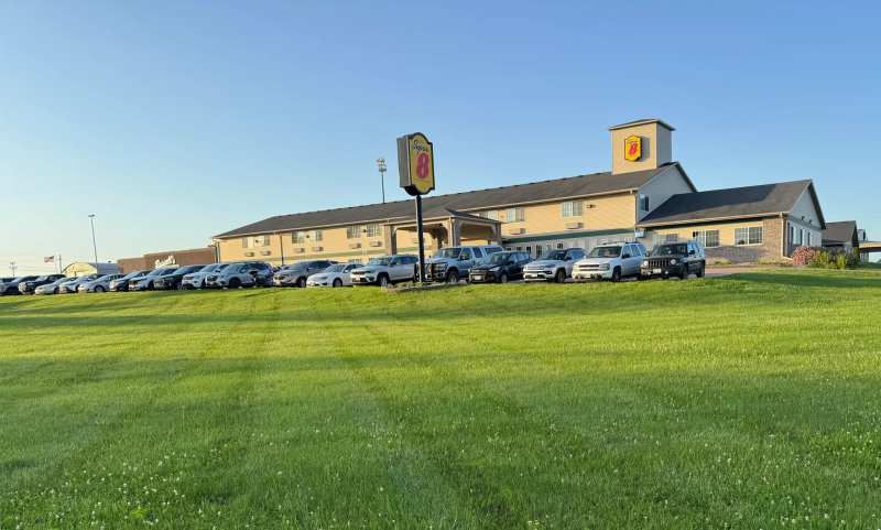
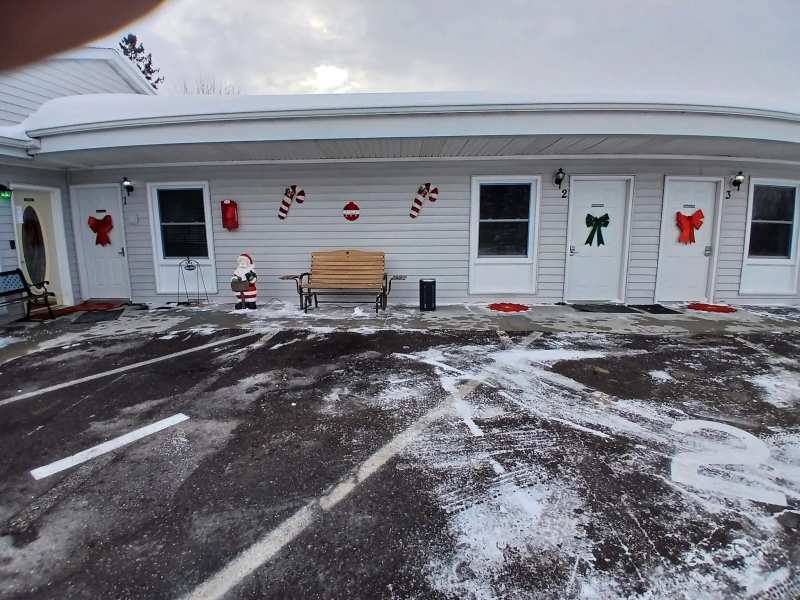
The choice is small and practical: a chain hotel, a couple of motels, cabins near the forest and county campgrounds.
Out of town, Fannies Supper Club and Motel on US 10 about 4.8 miles east has rooms attached to the supper club, so dinner and bed are a short walk apart.
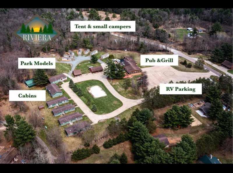
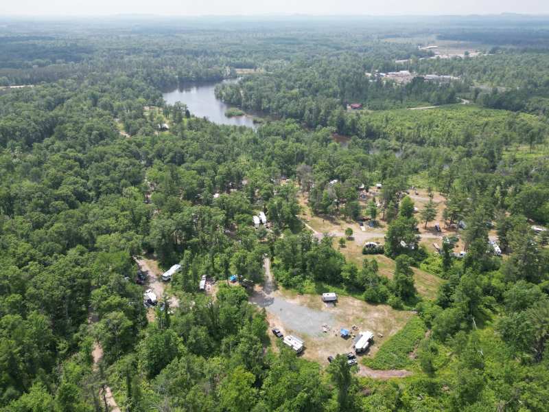
For a group or a family, Riviera Resort Cabins and RV Rentals, about 8.5 miles south-southwest on the Black River, has year-round cabins with three bedrooms, two bathrooms and full kitchens.
Campers have Snyder County Park, about 6.2 miles west, with electric sites on a small no-wake lake and direct access to the county ATV trails.
What is out in the county
Most of what brings people here is within a few miles, all distances as the crow flies. Chatty Belle and the Wisconsin Pavilion are about 0.9 miles east of downtown, and the Highground veterans memorial park is 3.5 miles west.
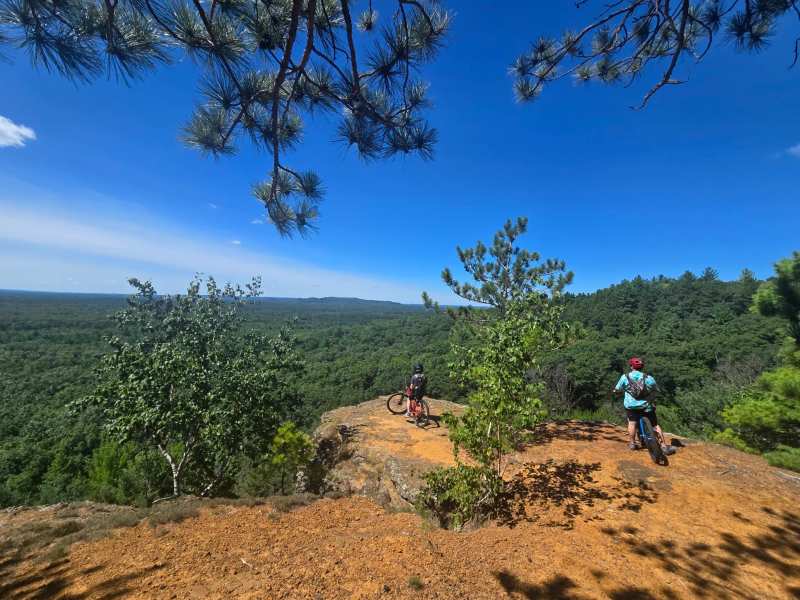
The forest attractions are further out. The Levis/Trow Mounds trails start 9 miles southwest of town.
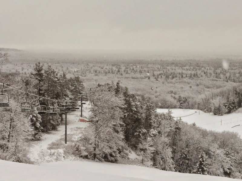
Another 3 miles beyond them, Bruce Mound ski area sits 12 miles southwest.
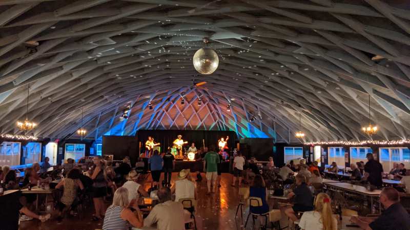
Things to do in Neillsville run from a 1933 ballroom to the Clark County Fair in August, close enough together for a full weekend without long drives.
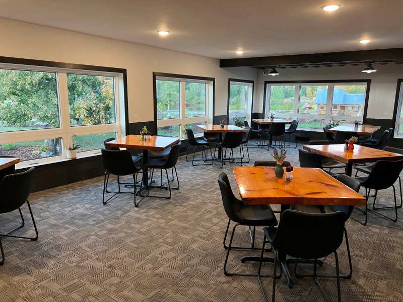
Downtown has breakfast from 6 in the morning, and places to eat in town include supper clubs a few miles out on US 10 and County B.
Winter changes how you plan the drive, and Neillsville weather by month runs from July highs near 80 to January lows near 5 degrees, with about 44 inches of snow a year.
Frequently asked questions
Published August 24, 2026