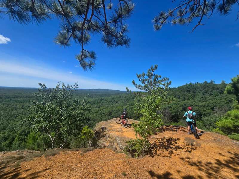
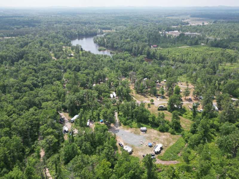
The Clark County Forest is mostly flat, sandy pine country. Then, in the southwest corner of the Clark County Forest, a line of sandstone mounds rises about 300 feet out of the trees, with rock ledges, overhangs and narrow clefts on their flanks. Levis Mound is the biggest of them, and the trails cut over and around it and the neighboring Trow Mounds draw riders from the Twin Cities, Madison, Milwaukee and Chicago.
This is the practical version: where it is, how the trail system works, which loops to start with, what the pass costs, and what to do with the forest in winter or if you came on an engine instead of pedals.
Sponsored
What Levis Mound is
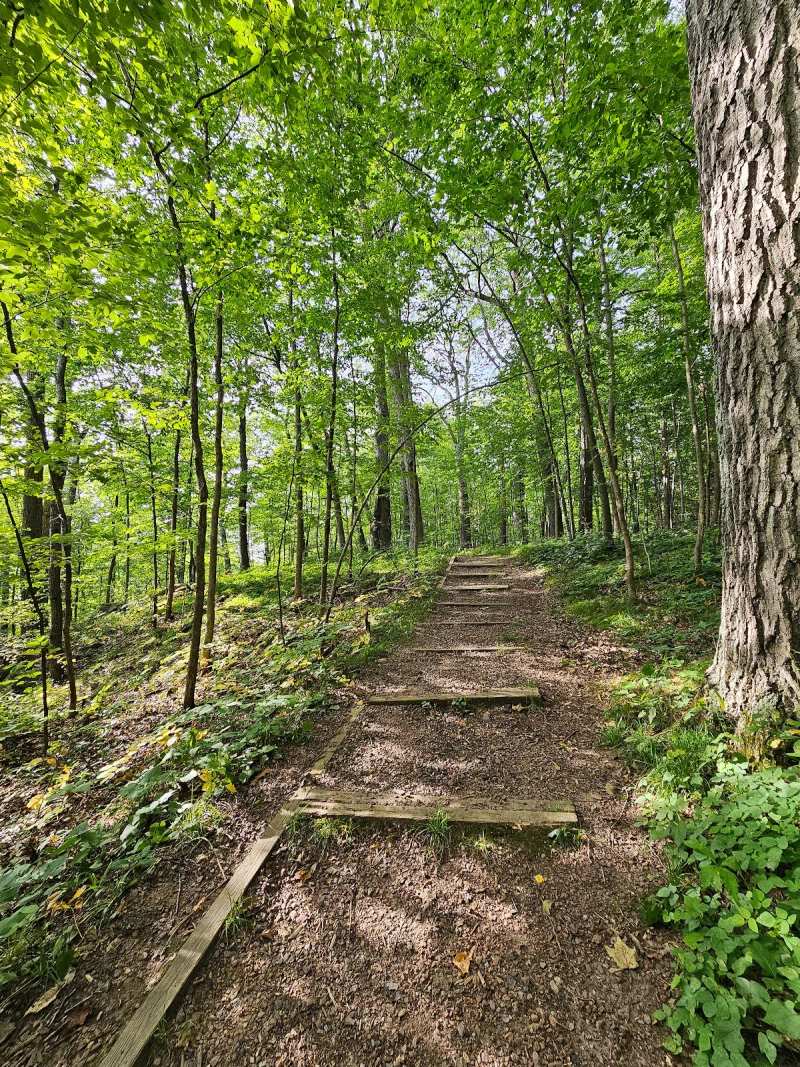
The county describes this corner of the forest as the start of Wisconsin's Driftless country, the part of the state the glaciers missed, and you can see it in the ground. The mounds are sandstone, and the riding moves between deep sandy stretches, rooty forest floor and, on top of the mounds, exposed rock with views over the forest.
Getting there
The trailhead is about 9 miles southwest of downtown Neillsville in a straight line. By road it is closer to 13 miles on county roads through the forest. There is no public transport, so plan on driving.
The parking lot at the main trailhead holds the big map kiosk, and the shelter, toilets and campground are alongside it.
How riders built it
The trails here were built by mountain bikers, which is rarer than it sounds. As Singletracks has reported, two Neillsville friends, Steve Meurett and Dean Glaze, took up the sport in the mid-1980s and started riding the old ski trails and logging roads around the mounds. In 1987 they cut the first stretches of singletrack, mainly to get around boggy sections of a ski trail system designed for winter.
Both taught at the local high school, so their summers went into building. They asked the county for permission at each step rather than cutting renegade trails first, and the system grew loop by loop toward the rock features on the mounds themselves. Their trail club, the Neillsville Single Track Inhabitants, or NASTI, ran a race, the Buzzard Buster, from the 1990s into the 2000s that grew from 67 riders at the first edition to 800 or more by the last, and in 2002 Levis was named an IMBA Epic, the mountain bike association's label for destination-grade rides.
Volunteers and donations still keep the trails in shape, with the county's Forestry and Parks Department administering the system.
Three rides to start with
The network is a web of short, named segments rather than one big loop. It is well signed, with a large map board in the parking lot and free printed maps, so the easiest approach is to pick one of these three and add segments once you have your bearings. Distances below are approximate, from Singletracks' route descriptions.
The front mounds, about 5 miles
This is the technical, scenic heart of Levis and the oldest part of the system. Climb Porky Point and North Face to the top of Levis Mound, drop through Cliffhanger, where the soil turns dark and loamy under the trees, and work across on Switchback (there is a bypass for the steep switchbacks, and most people take it).
Then pick up Toad Road for a technical climb back up, including the wooden bridge through a narrow sandstone cleft that riders call Plumber's Crack. On top, ride the ridge loop and stop at the overlooks on the 75-foot bluffs before descending on Corkscrew.
The flat loop around Levis Mound, about 4 miles
For beginners, or a warm-up, there is a gentle loop around the base of the mound: out of the trailhead on Lower Glen, then Dead Turkey, the swooping turns of Select Cut and Warmup, and back on Snodgrass, which has roots and wide wooden bridges but nothing scary. It works in either direction.
Out to the Trow Mounds and back, about 12 miles
For miles and flow, head out on Lower Glen, Swamp Cut and Yellow Jacket, then either climb Buck Hill or take the bypass called Secret Trail. Goat Dance is next, a 3.6-mile lariat with the longest climb in the system; ride the loop counterclockwise.
From there, climb back to Buck Hill for Sidewinder, the one-way trail the builders count as their favorite. The builders laid it out to use every feature of one mound, and it traverses three levels of it with real exposure: in places the tread is under two feet wide, with rock rising on one side and a drop of 30 feet or more on the other. It is not a hard trail physically, but it demands good bike handling. Finish on Upper Hermosa, Hermosa and Lower Hermosa, which climb up and down the Trow Mounds with more sand and more tech, then Lower Glen back to the car.
The three rides side by side
| Ride | Approx. length | Character | Key segments |
|---|---|---|---|
| Flat loop | 4 miles | Beginner, rolling, roots and bridges | Lower Glen, Dead Turkey, Select Cut, Warmup, Snodgrass |
| Front mounds | 5 miles | Technical, rocky, best views | Porky Point, North Face, Cliffhanger, Toad Road, Corkscrew |
| Trow Mounds | 12 miles | Long, flowy, one big climb, exposure on Sidewinder | Yellow Jacket, Goat Dance, Sidewinder, the Hermosas |
Riding with kids
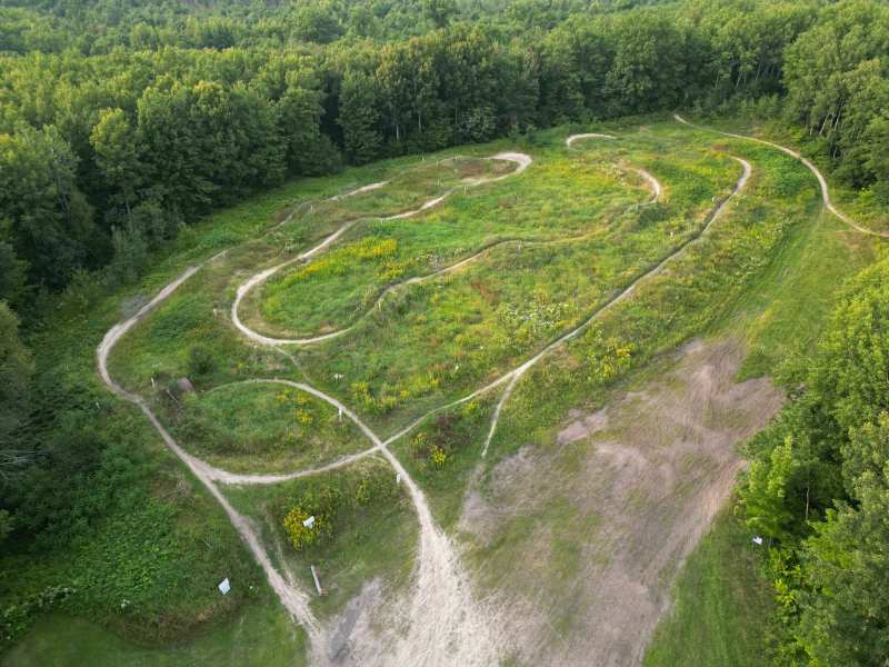
The flat loop is the place for younger riders, and the system has a small skills area, Lucy's Loop, for practicing over obstacles. Pair that with the trailhead campground and a family can spend a whole weekend here without anyone being pushed onto the rock.
Trail passes and the trailhead
A trail pass is required for mountain biking and cross-country skiing. The county's current rates are $8 for an individual day pass, $30 for an individual mountain bike season pass and $60 for a family season pass; ski season passes are $40 individual and $80 family. Passes are sold online, at the trailheads and at the Clark County Forestry and Parks office in the courthouse in Neillsville (715-743-5140). Hiking does not need a bike pass.
Rates change from time to time, so check the county's trail pass page before you go. A season pass pays for itself on the fourth visit.
Winter: fat bikes and cross-country skis
Levis does not shut down when the snow comes. The county grooms about 13.5 miles of singletrack for fat bikes and about 17 miles of cross-country ski trail. The warming chalet at the trailhead is open in the riding season, and the showers close for winter.
Groomed trail conditions depend on the snow. Neillsville averages around 44 inches a year, most of it from December to February, and early-season riding can be thin. Watch the county's trail updates and the local riding community before you make the drive.
When to ride
The main riding season runs from late spring into fall. June is the wettest month in Neillsville, with more than 5 inches of rain on average, and summer brings highs near 80 degrees. September and early October, with average highs from about 70 down into the upper 50s and the leaves turning, are the most comfortable weeks on the mounds.
Away from the mound tops the soil is mostly sand, which drains quickly and tends to firm up after a little rain, while a long dry spell leaves it loose. If the county posts a closure for soft conditions, respect it; the trails are volunteer-built and easy to damage.
What to bring
Bring a full repair kit, a pump and spare tubes or plugs, because the trailhead has no bike shop and Neillsville is a long walk if something breaks. Wider tires help in the sand. Carry more water than you think, as the trailhead is the only reliable refill.
A printed map from the kiosk is worth having even with a phone, since the network is a maze of short named segments. Ride Sidewinder in its one-way direction, and walk any exposed section you are not confident on; there is no shame in it, and the drop is real.
Hiking Levis and Trow
Walkers use the same system in the warm months. The popular Levis/Trow Mounds loop is about 5.9 miles with roughly 850 feet of climbing, which makes a solid half-day hike, and it takes in the same ridge-top overlooks the riders stop at.
Wear proper shoes. The sandstone is gritty and loose in places, and some of the climbs onto the mounds are steep. Water is available at the trailhead, so fill up there before you set out.
The wider Clark County Forest
Levis is one corner of a much bigger public forest. The county runs eight campgrounds across it, from primitive sites to modern ones with hookups and showers, and the back roads are worth a slow drive. Rustic Road 76, a state-designated scenic route on county roads, winds through the forest land, and deer, sandhill cranes and wild turkeys are common sightings along it, with a bald eagle if you are lucky.
It is working forest and a playground at once, managed for timber and wildlife habitat, so expect logging in places and give way to forestry traffic on the gravel roads.
Motorized: ATV trails and Knobby Ridge
Engines are kept off Levis, but the wider county forest has plenty for them, mostly to the west and northwest of Neillsville.
For off-road motorcycles, Knobby Ridge Motorcycle Trails off US 10 has 8.2 miles of looped trail through the forest, a youth loop, an intensive-use area and a motocross track with jumps. It is motorcycles only, with ATVs and UTVs prohibited, and there is camping on site with self-registration.
Horse riders have their own system too: the Wild Rock horse trail has more than 40 miles through the county forest, with access from Wild Rock County Park. A separate county pass is required.
A riding weekend, start to finish
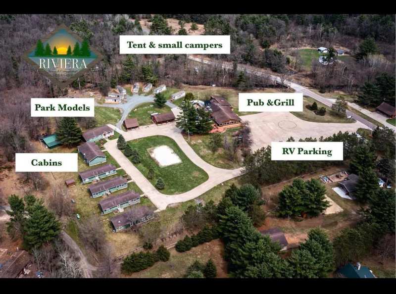
Arrive Friday evening and pitch a tent at the trailhead campground or check into a cabin at the Riviera. On Saturday, ride the flat loop as a warm-up, then the front mounds, and finish with the overlooks on top of Levis Mound. Eat at the Riviera Bar and Grill or drive to the Wildcat for a supper club dinner.
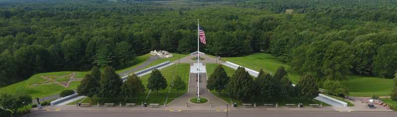
Save Sunday for the long loop out to the Trow Mounds, with Goat Dance and Sidewinder in the middle, and roll back to the trailhead in time to shower before the drive home. If anyone in the group is not riding, the trails are just as good on foot, and the Highground memorial is about 7.4 miles north of the trailhead in a straight line, on US 10 west of town.
Bruce Mound, 3.3 miles away
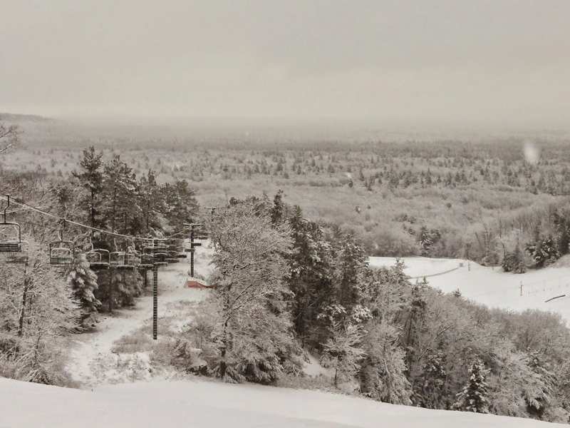
In winter, the same corner of the forest turns into a ski area. Bruce Mound is about 3.3 miles from the Levis trailhead in a straight line, with downhill skiing, ten tubing lanes and night skiing on Friday evenings. Riders who bring a family along for a winter weekend can split the day, fat-biking at Levis in the morning and tubing at Bruce Mound in the afternoon.
Where to stay and eat
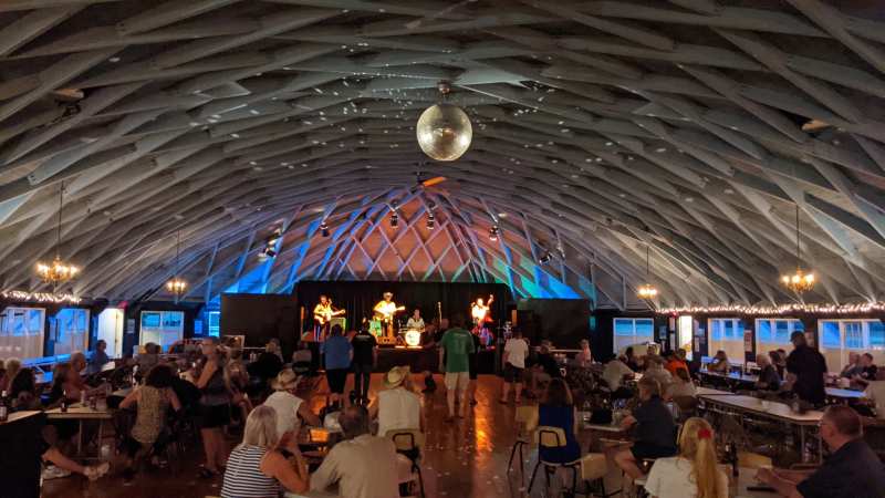
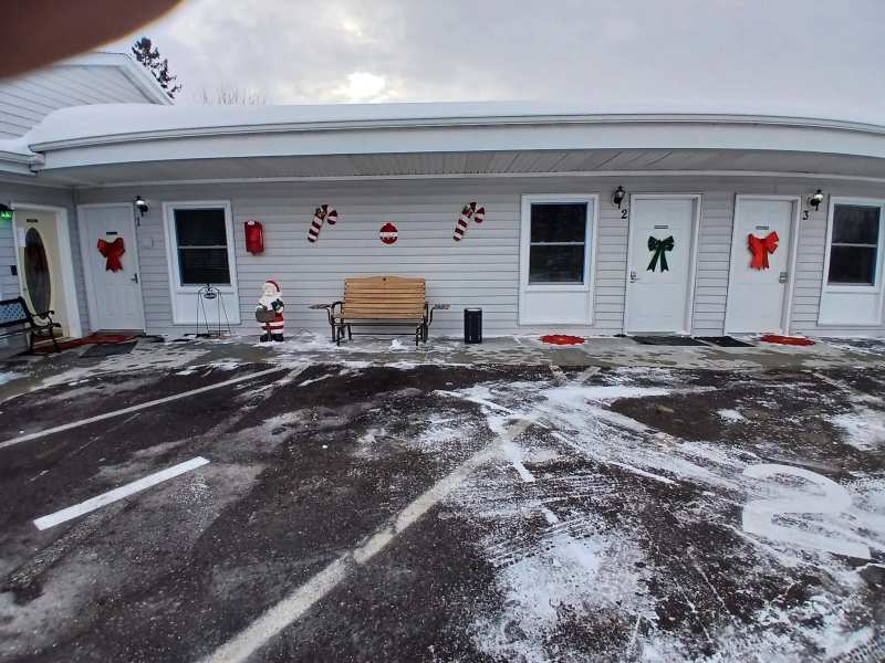
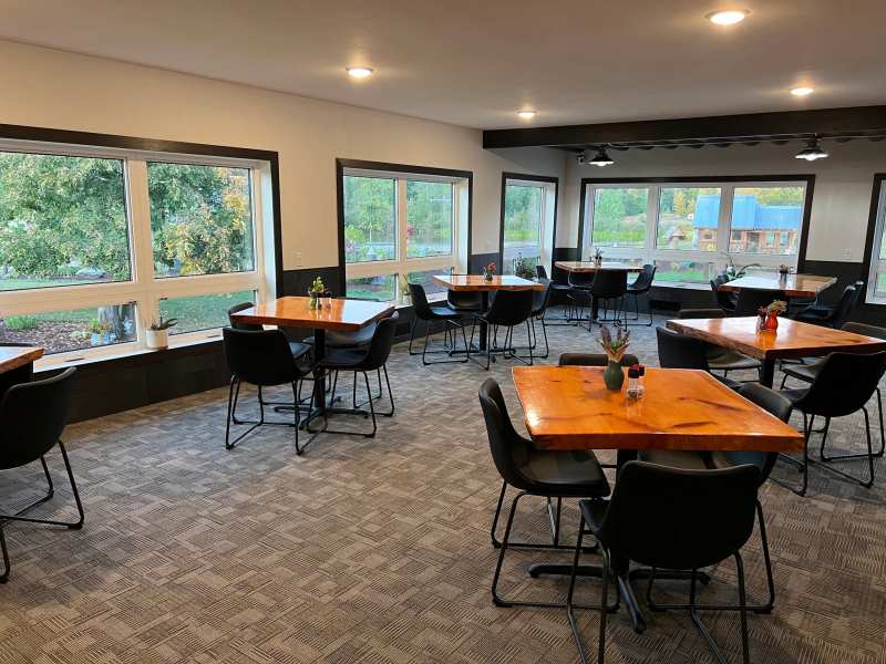
The Riviera’s bar and grill is the obvious post-ride stop, with burgers, pizza and cold drinks from 11 in the morning, Wednesday to Sunday, until midnight on Fridays and Saturdays.
For a supper club dinner, the Wildcat on County B is about 7.4 miles north of the trailhead and opens Thursday to Saturday evenings. Lake Arbutus, about 3 miles south of the trailhead in a straight line, has county campgrounds and beaches of its own, and a swim there is a good way to end a hot day on the bike.
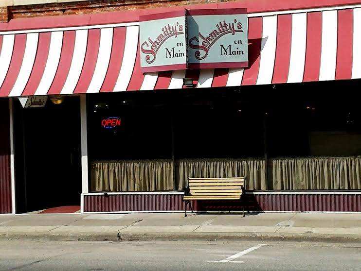
In town, breakfast starts at 6 and the Friday fish fry is a fixture across Neillsville restaurants.
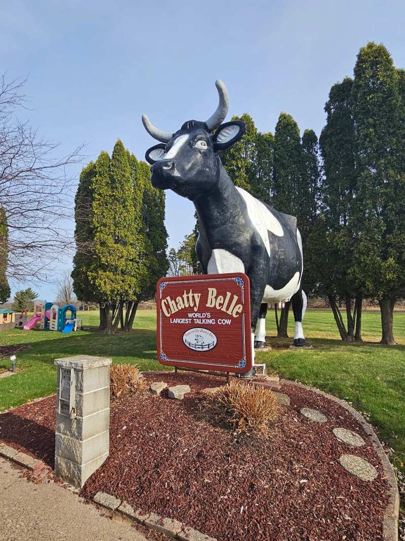
On a rest day, the Highground and Chatty Belle are among Neillsville’s other sights worth the drive into town.
Frequently asked questions
Published September 7, 2026