Sponsored
Where is Land O' Lakes? At the very top of Vilas County, in northern Wisconsin, right on the Michigan line. Downtown sits on US-45 about 17 miles north of Eagle River, and the Upper Peninsula starts at the north edge of town.
That short answer hides a quirk. Land O' Lakes is both a small downtown and a town of about 95 square miles that stretches many miles west along the border. Knowing which one someone means saves a lot of wrong turns.
The town and the downtown
The Town of Land O' Lakes is a long, narrow Wisconsin town covering about 95 square miles, 12 of them water, with 861 residents at the 2010 census. The small downtown, an unincorporated community also called Land O' Lakes, sits at the far east end where County B meets US-45.
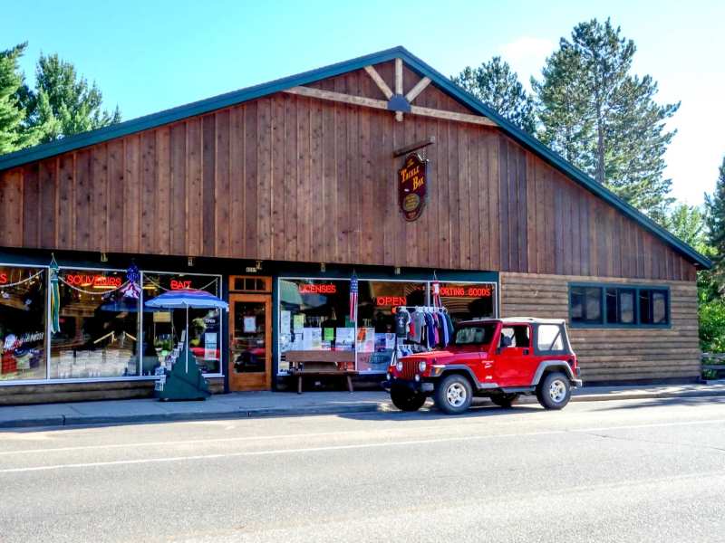
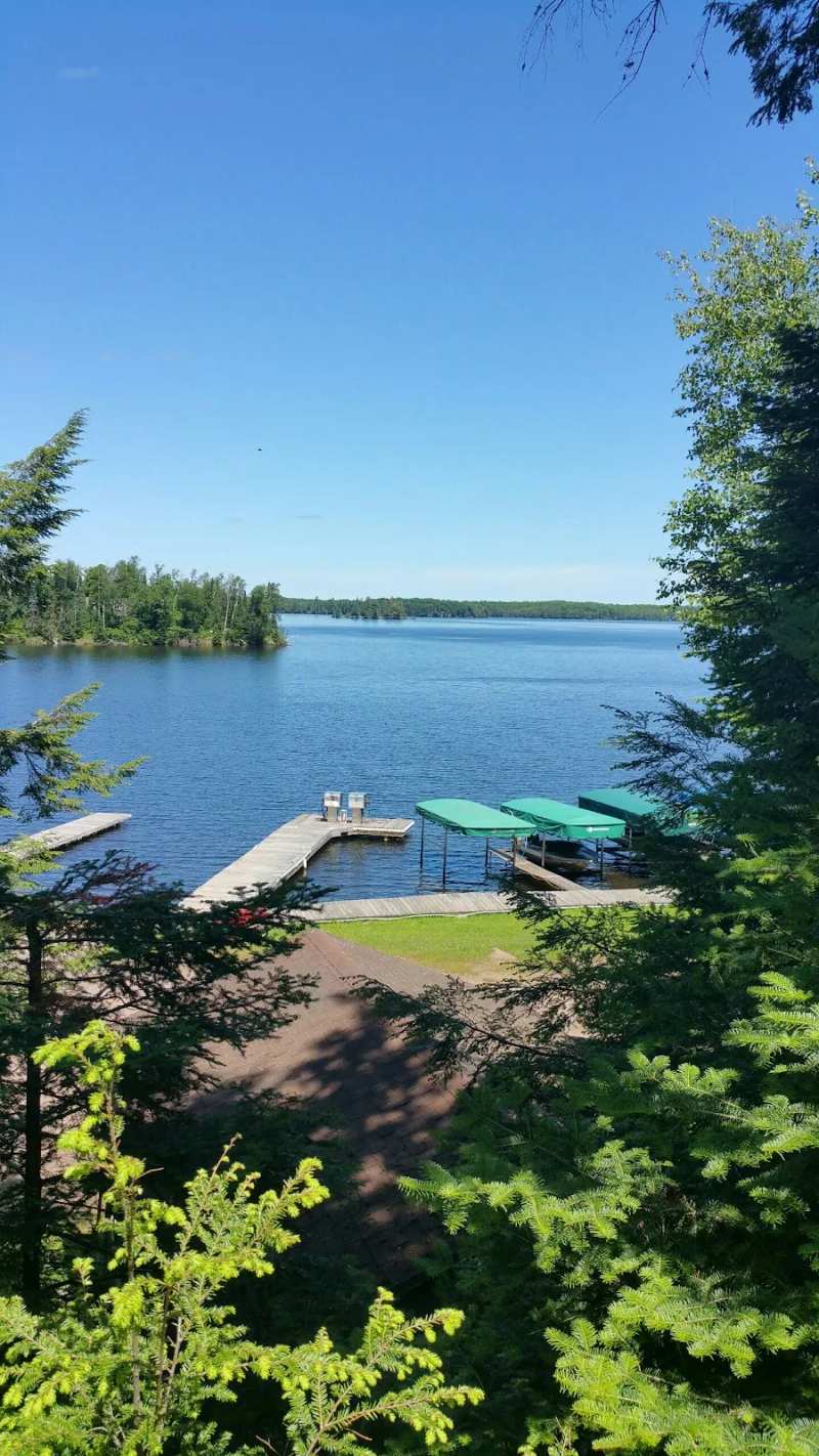
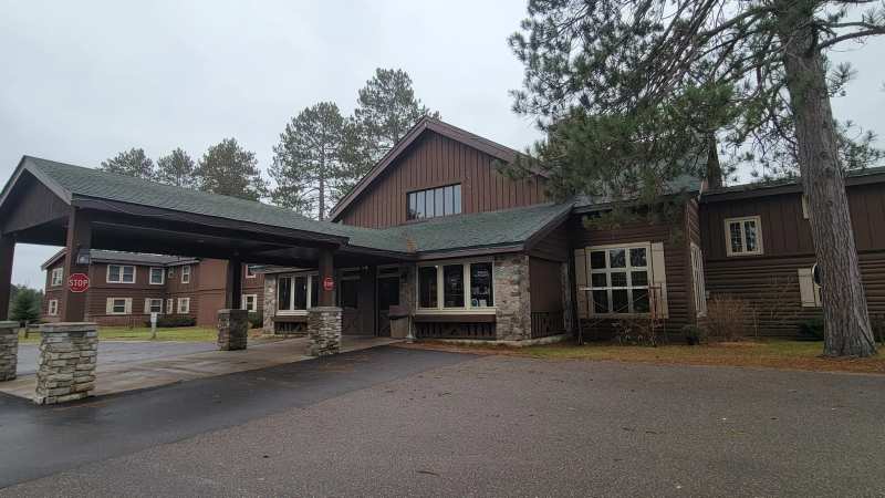
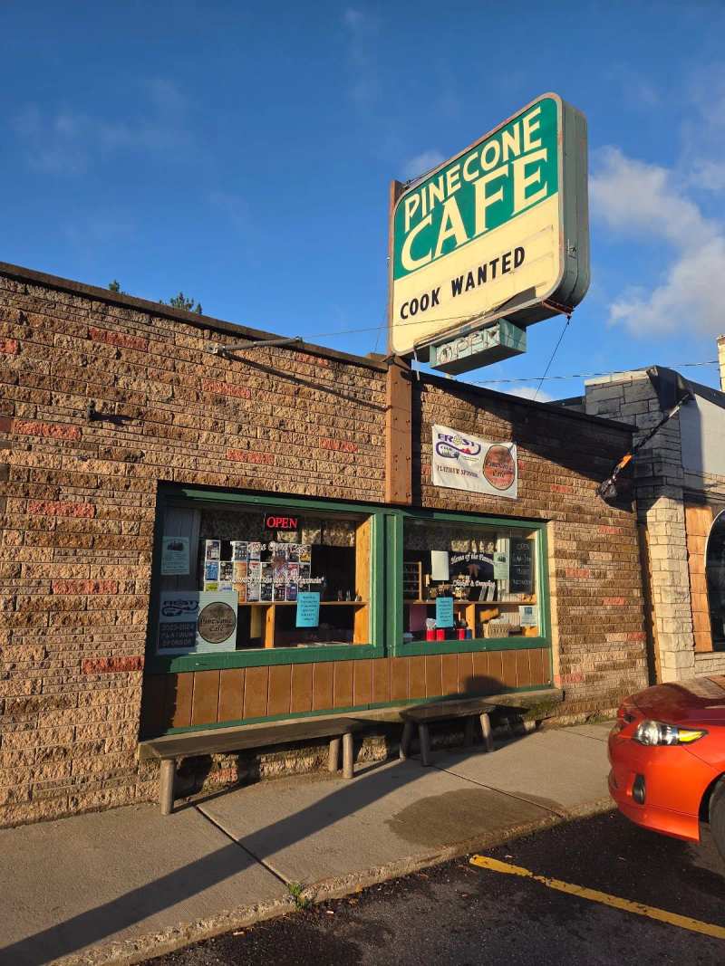
Most services are in that downtown: the shops on County B, the Pine Cone Cafe, the town offices and the lodge. The rest of the town is lakes and forest, including Black Oak Lake and the Wisconsin end of the Cisco Chain, which is about 11 miles west of downtown. An address that says Land O' Lakes can be 10 miles from the crossroads downtown.
Here is a trick for reading those addresses. On County B, the house numbers climb as you head west: the Pine Cone Cafe downtown is 4187, the Bear Trap Inn about 1.5 miles out is 4703, Forest Lake Cafe about 6.6 miles out is 6256, and the marina on the Cisco Chain is 7550. If a cabin's County B number starts with a 6 or a 7, you are staying closer to the Chain than to downtown.
The ZIP code for the whole area is 54540, the area codes are 715 and 534, and the town runs on Central time.
Roads in and out
US-45 is the main road. It runs north into Michigan's Upper Peninsula toward Watersmeet and US-2, and south through Conover to Eagle River, the Vilas County seat. Wisconsin Highway 32 shares the same road north to south.
County B is the main street. It runs west the length of the town, past Black Oak Lake and the Cisco Chain, to Presque Isle and a connection with Michigan's M-64. County M branches off it toward Boulder Junction, and County S drops south from County B about 5 miles out of downtown toward Clair and Joyce lakes and Conover.
County E heads east from US-45 in the southeast corner of town to Lac Vieux Desert and on to Phelps, where it meets Highway 17. Thousand Island Lake Road, a town road, gives a southern way into the Sylvania Wilderness.
Nearest airports
The nearest airport with airline service is Rhinelander-Oneida County Airport, about 38 miles south-southwest in a straight line, with daily flights to Minneapolis-St. Paul and summer flights to Chicago O'Hare. Central Wisconsin Airport, outside Mosinee, is about 98 miles south-southwest.
Private pilots can fly straight into town. Kings Land O' Lakes Airport sits in the southeast corner with a 4,001-foot paved runway and GPS approaches, and it handles about 8,000 operations a year, almost all general aviation. For anyone else, plan on renting a car at the airport, because there is no public transport into Land O' Lakes.
How far from the cities
These are straight-line distances from downtown, so the road distance will be longer. Coming from the east, Green Bay is about 128 miles south-southeast, and Milwaukee and its lakefront about 225 miles in the same direction.
From the south, Madison is about 214 miles away and Chicago about 306 miles south-southeast. From the west, Minneapolis is about 212 miles west-southwest.
Closer in, Watersmeet, Michigan, is about 7.7 miles north-northeast, Phelps about 9.4 miles southeast, Conover about 10 miles south-southwest and Eagle River about 17 miles south. Wausau is about 85 miles south-southwest.
Most visitors drive up US-45 and come into town from the south. The last stretch is mostly two-lane road through forest, so plan fuel and grocery stops in Eagle River before you head north.
Wisconsin, Michigan or both?
Land O' Lakes is in Wisconsin. The town was created in 1907 as the Town of State Line, because it sat squarely on the line with Michigan's Upper Peninsula, and was renamed Land O' Lakes in 1948. Before that, the settlement moved east from Donaldson, a mill town on County B, after the Donaldson mill burned in 1908.
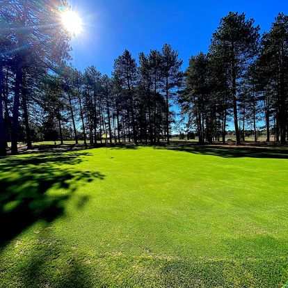
The border still shapes daily life. The golf course crosses into Michigan, the Cisco Chain lies mostly in Michigan, and Lac Vieux Desert is split between the two states. Snowmobile trails run straight across the line, and the neighboring part of Michigan keeps Central time too, so crossing does not change your watch.
Your first night
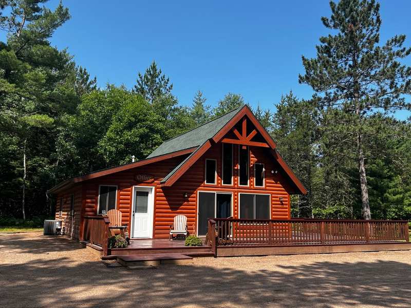
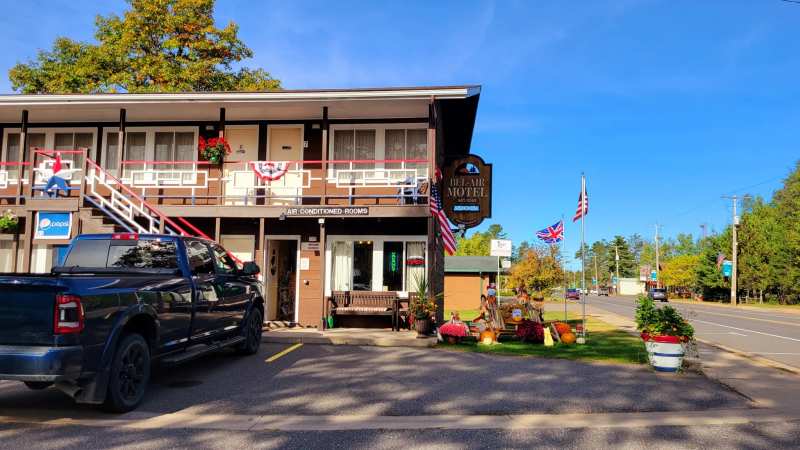
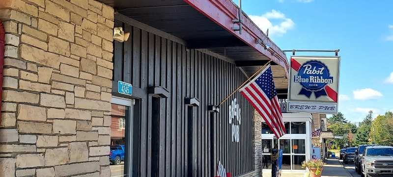
If you arrive late, two places downtown are a short walk from each other.
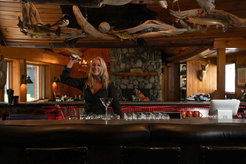
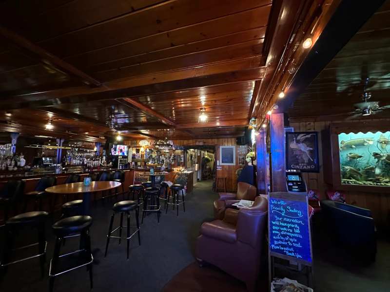
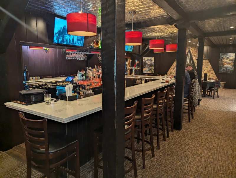
For a late meal, the sports bar on County B serves food until late, and breakfast the next morning starts early at the Pine Cone.
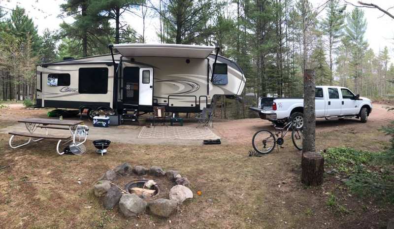
For the full range of beds, from lake resorts to first-come campsites, see where to stay in Land O' Lakes.
What to do once you are here
With the map sorted, the trip can start: the bike trail, the museum in an old ski chalet, the headwaters of the Wisconsin River and three supper clubs are all within a few miles of downtown. Fifteen things to do in Land O' Lakes are a good place to begin.
Pack for the north, too. Winters here are long and snowy, and even July nights can be cool. Check the weather and the best time to visit before you load the car.
Frequently asked questions
Published September 28, 2026