Sponsored
The Wisconsin River, which runs about 430 miles down the state to the Mississippi, starts as a creek you can wade across. It flows out of Lac Vieux Desert, a big, shallow border lake a few miles east of downtown Land O' Lakes, and you can stand at its first few yards on a short woodland walk.
The lake itself is worth more than a photo stop. Lac Vieux Desert covers about 4,000 acres across the Wisconsin and Michigan line, holds musky and walleye, grows wild rice and has a national forest campground on its west shore. Here is how to see the source, where to camp and launch, and what to expect on the water.
Where exactly the Wisconsin River begins
The river begins at the outlet dam on the west side of Lac Vieux Desert, where a footbridge crosses the new stream to a historical marker. A second, easier stop sits where the young river passes under US-45, about 1.6 miles from downtown.
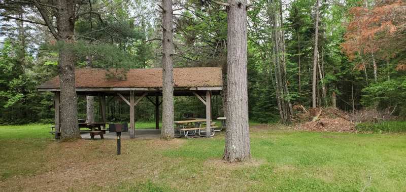
For the true source, go to Lac Vieux Desert Park, listed under neighboring Phelps and about 4.2 miles southeast of downtown Land O' Lakes. A short trail through the woods leads to the small dam and the footbridge, and the park has picnic tables, grills and restrooms. Parking is off West Shore Road at the west end of the lake, about a quarter mile in on the right, just south of Starline Lane.
A morning at the headwaters
The two headwaters stops and the campground make an easy loop from downtown. Drive south on US-45 to the wayside first, then continue to County E and head east toward Lac Vieux Desert and Phelps. West Shore Road leads to the park lot, about a quarter mile along and just south of Starline Lane.
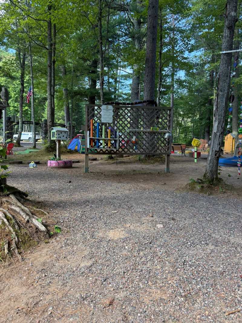
Walk the short trail to the dam and footbridge, then drive along the shore to the campground's picnic area and swimming beach. With a stop for breakfast on the way out of town, the whole loop fits in a morning, and it is easy with kids.
The lake: big, shallow and on the state line
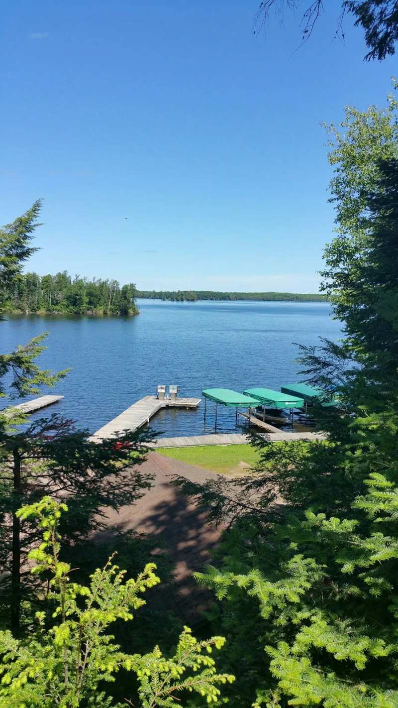
Lac Vieux Desert covers about 6.6 square miles, roughly 4,000 acres, and straddles the border between Vilas County, Wisconsin, and Gogebic County, Michigan. It is one of the largest lakes in the Chequamegon-Nicolet National Forest.
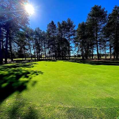
The name is often translated as Lake of the Desert, but in Canadian French it means an old clearing, after land that Native people cultivated on the lake's islands. The Lac Vieux Desert Band of Lake Superior Chippewa has used the lake and its shores for generations for wild rice, hunting and fishing, and the band's community is on the Michigan side near Watersmeet, where it also runs a casino hotel and the 18-hole Lac Vieux Desert Golf Course. Those are separate trips from the Wisconsin shore and the river source.
The lake is shallow and highly productive, the kind of water that grows weeds, rice and fish. About two thirds of the water leaving it flows into the Wisconsin River and the rest evaporates. That shallow, weedy character is the opposite of Black Oak Lake a few miles west, which is deep and glass-clear.
Fishing Lac Vieux Desert
Lac Vieux Desert is musky water first, with walleye, largemouth and smallmouth bass and northern pike close behind. Vilas County's tourism office credits the lake with the world-record tiger musky, and the weed beds and rice edges are where most anglers start.
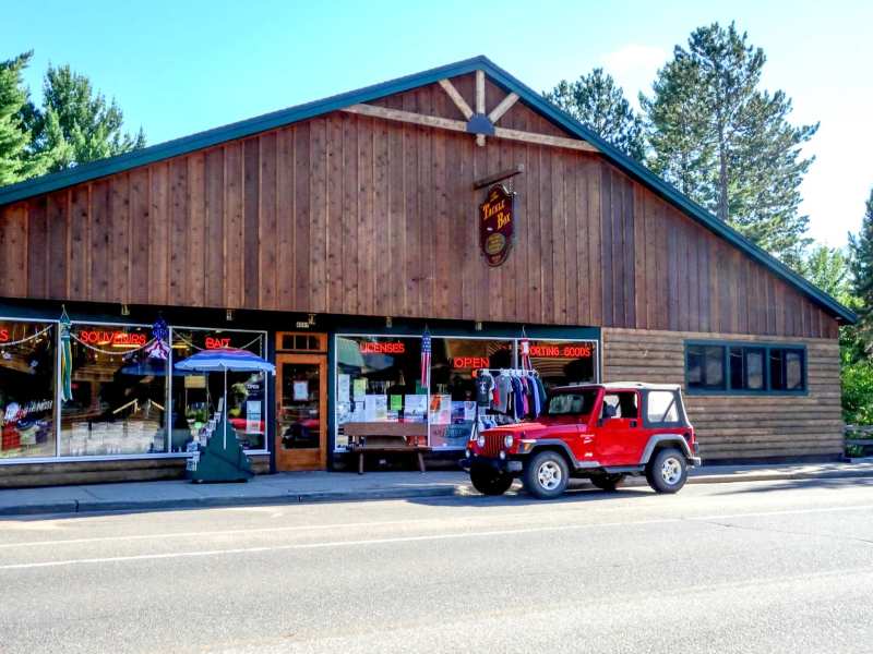
Because it is a border lake, Wisconsin and Michigan border-water fishing rules apply, so read both before you go. Tackle Box on County B sells licenses for both states along with live bait.
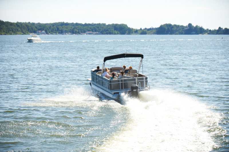
If you do not have a boat, you can have a pontoon or fishing boat delivered to a Lac Vieux Desert launch, free anywhere in Vilas County and Gogebic County. The lake has several public boat accesses, including the landing at the national forest campground.
Camping on the west shore
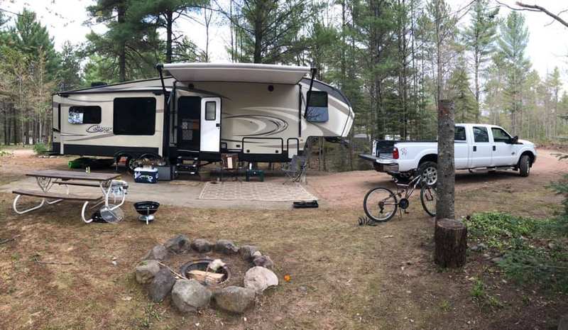
The Lac Vieux Desert Campground is the place to camp on the lake, a national forest campground on the west shore about 3.6 miles east-southeast of downtown.
The campground is managed by the national forest's local ranger district, which is where questions about the season and sites go. Arrive early in the week in July and August. A Friday evening arrival on a summer weekend can mean driving on to the next campground.
Staying on the lake in a cabin
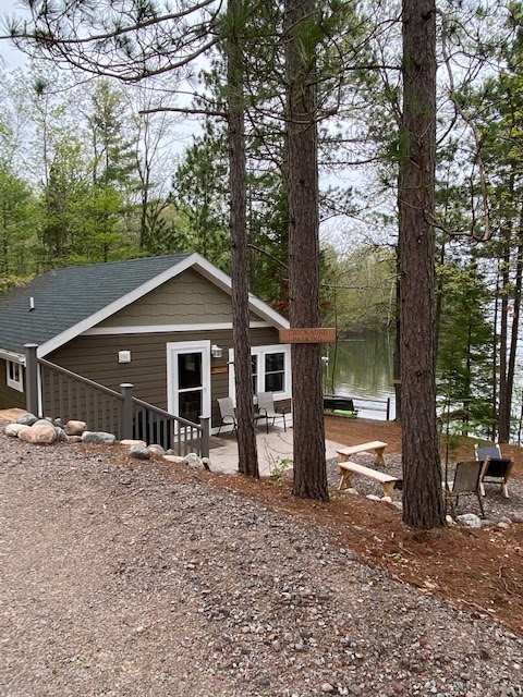
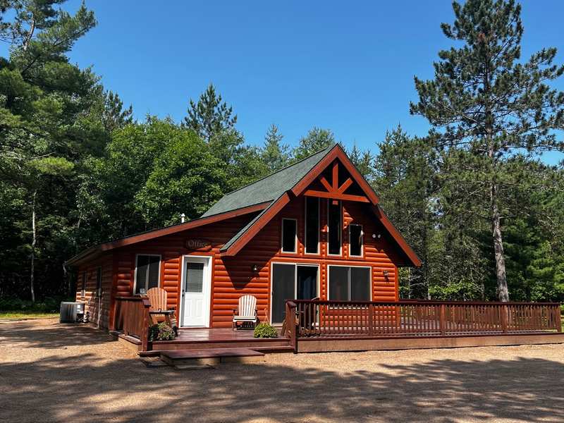
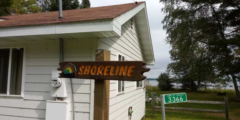
If you would rather have a roof, there is a family resort on the same west shore, less than a mile from the river's source.
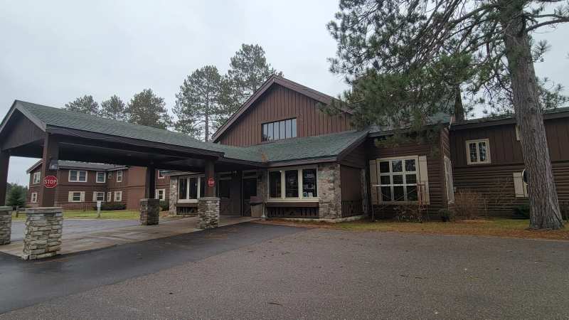
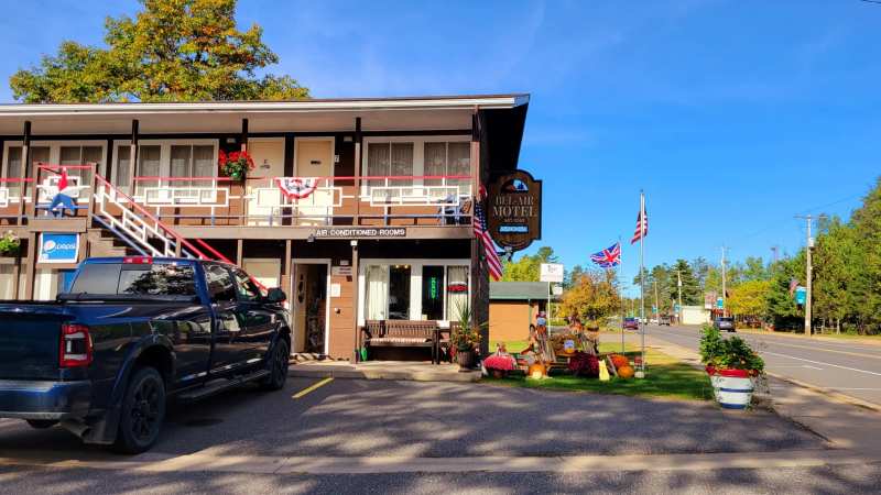
For other places to sleep, from the downtown lodge to the RV parks, see Land O' Lakes lodging, all within about 11 miles of the lake.
Paddling the river's first miles
The first 19 miles of the Wisconsin River, from the lake to the County K bridge at Conover, make a wild, quiet paddle. Near the top the river is closer to a creek, narrow and sandy, and some maps label it Wisconsin Creek.
Expect fallen trees across the channel in places, and plan to get out and pull over them. At about mile 12, Portage Creek comes in and the river roughly doubles in size, which changes the paddle from a creek to a small river. Leave a car at the County K take-out before you start.
Why the river runs low in summer
A dam at the outlet controls the lake's level, and that regulation changes the river below it. According to a US Geological Survey study, the river runs artificially low in spring and summer and artificially high in fall and winter because of how the lake is managed.
For visitors, that means the first miles of the river can be thin and scratchy for paddling in a dry July, and fuller in autumn. The same study notes that a century of level control may have affected the wild rice beds on the lake.
Visiting in winter
The campground closes from mid-October to early May, but the headwaters wayside on US-45 stays open around the clock all year, and the river is still running under the snow. In winter the lake is an ice-fishing lake. Ask at Tackle Box for current ice conditions before you go out, and stay well away from the outlet, where moving water keeps the ice thinner.
Close by
The nearest supper club to the headwaters is the Twilight on US-45, about a mile from the wayside, with a 1940s room and a salad bar. Clear-water swimming is west of downtown at Black Oak Lake, deep where Lac Vieux Desert is shallow.
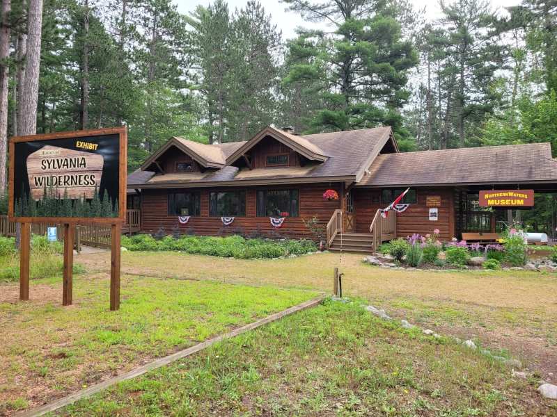
The headwaters fit easily into a longer day. Pair them with the bike trail, the museum or a pontoon on the Chain, all part of a few days around Land O' Lakes.
Frequently asked questions
Published September 14, 2026