The quiet half of a Wisconsin rail trail runs right down Howard Street in Wittenberg. The Wiouwash State Trail has two separate sections, and the northern one, 19 miles from Birnamwood to Split Rock, passes through Eland, Wittenberg and Tigerton on the old Chicago and North Western rail bed.
It is rustic, shaded and uncrowded, and it suits a hybrid or mountain bike, a long walk or a horse better than a road bike. This covers the northern section stop by stop, the surface, the rules, where to park, and how it links to the Mountain-Bay State Trail in Eland.
Sponsored
What the Wiouwash State Trail is
The Wiouwash State Trail is a 41-mile rail trail in east-central Wisconsin, built on a former railroad line and split into two sections about 30 miles apart. The Wisconsin DNR lists the northern section at 19 miles, from Birnamwood to Split Rock in Shawano County, and the southern section at 22 miles, from Hortonville to Oshkosh.
The name comes from the first two letters of four counties: Winnebago, Outagamie, Waupaca and Shawano. The finished trail does not actually pass through Waupaca County.
The line began as the Milwaukee, Lake Shore and Western Railway, and the Chicago and North Western took it over in 1893. That railroad is also why Wittenberg has its name: the Rev. E.J. Homme persuaded it to rename its station here from Carbonero to Wittenberg.
The northern section, north to south
Heading south, the northern Wiouwash runs Birnamwood, Eland, Wittenberg, Tigerton and Split Rock, roughly parallel to US 45 the whole way. The ground drops gently as you go south, so riding north to south is the easier direction.
Birnamwood to Eland
The trail starts in Birnamwood, 7.4 miles north of Wittenberg, where the trailhead is a sign and a self-registration station with pull-off parking on the road. Main Street is a few blocks away, and Chet & Emil's there is a sit-down restaurant and bar known for family-style chicken, a good start or finish for the ride.
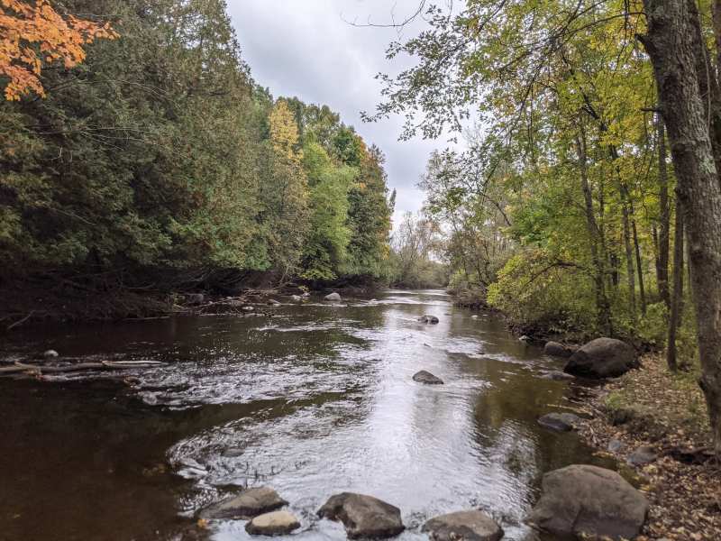
South of Birnamwood the path is rough for the first stretch. Railroad Creek winds beside it and crosses under the trail about 10 times on the way to Eland.
Eland to Wittenberg
At Eland, 3 miles north of Wittenberg, the Wiouwash shares the corridor with the Mountain-Bay State Trail for about 0.7 miles before splitting off south. About 0.6 miles after the split, the trail passes under County Q and enters Wittenberg.
Through Wittenberg
In Wittenberg the route follows Howard Street southeast through the middle of the village, past the bowling alley and the bakery, so you can stop for food without leaving the trail. Wittenberg Lanes at 407 Howard opens at 11am Tuesday to Sunday, and Lisa's Sweet Shoppe across the street opens at 6am on weekdays.
Trail guides note that Wittenberg works well as a trailhead in its own right, with the downtown streets right beside the route, and the rest of what Wittenberg has to do is within a few streets of it.
Wittenberg to Tigerton and Split Rock
South of Wittenberg the trail runs through about 3.5 miles of forest, crosses Highway 153 and continues beside Tiger Creek. In Tigerton, 7.5 miles southeast of Wittenberg, Rocks For Fun on US 45 sells homemade frozen pasties and coffee, and it is closed on Tuesdays.
One trail guide notes that between the Fairmorr Road turnaround and Tigerton the route uses about 6 miles of marked county and town roads, and that south of Tigerton the trail is broken up by private property. Treat Tigerton as the practical end of the ride, and check current conditions before pushing on toward Split Rock.
Three rides from Wittenberg
The northern Wiouwash suits short out-and-backs better than one long push, because the surface slows you down. Pick whichever fits your day.
Wittenberg to the Eland junction and back
Ride north out of the village on the Wiouwash to Eland, 3 miles north as the crow flies, where the Mountain-Bay crosses. It is the easiest way to say you have ridden both trails, and the tavern in Eland makes a natural turnaround.
Birnamwood to the Fairmorr Road turnaround
The classic northern ride runs from the Birnamwood trailhead south through Eland and Wittenberg to the turnaround on Fairmorr Road: 14 trail miles, mostly downhill. With two cars, leave one at the turnaround and ride it one way. Without, Wittenberg is the obvious point to turn back.
Eland west on the Mountain-Bay
If the grass surface of the Wiouwash is wearing you down, switch to the Mountain-Bay at Eland and head west toward Hatley. Riders report that the Weston to Eland segment is the best maintained on the whole Mountain-Bay, so the going is faster. Remember the state trail pass on this one.
What to bring
Carry water and a repair kit. The Birnamwood trailhead has nothing beyond a sign and a registration station, and the forest stretches between villages have no services. Bug spray matters from June to August in the shaded sections and near the marshes.
Bring cash or a card for the registration station if a pass is posted, a phone with the map downloaded in case signal drops in the woods, and a layer for the cool air under the trees.
Surface and what to ride
The northern Wiouwash is rustic: some stretches are two compacted crushed-stone lanes, and many are mowed grass that makes for a bumpy ride. A hybrid or mountain bike with wider tires is the right choice; a road bike will struggle.
Most of the route is shaded by dense tree cover, which keeps it cool in July and holds moisture after rain. Expect soft sections after a wet spell and in spring. The trail also passes marshes and crosses clear trout streams, and fishing is listed among its uses.
Horseback riding is allowed on the Wiouwash, except on the paved stretch at the Oshkosh end of the southern section, so expect to share the corridor with horses, bikes and walkers.
Passes, hours and rules
The Wisconsin DNR says no state trail pass is needed on the Wiouwash, and the trail is open year-round. Some trail guides still list the $5 daily or $25 annual state trail pass, so follow whatever the sign at your access point says.
The Mountain-Bay State Trail is different. Riders 16 and older need a state trail pass there, at $5 a day or $25 a year, and snowmobiles need a Wisconsin registration or a snowmobile state trail pass.
Travel Wisconsin lists the Wiouwash hours as 6am to 11pm. Panic Park, Pond Park and Wilson Lake County Park post the same hours.
Linking to the Mountain-Bay State Trail in Eland
The Mountain-Bay State Trail crosses the Wiouwash in Eland and runs about 85 miles from Weston, near Wausau, to Howard, near Green Bay. From Eland you can head west toward Hatley and Ringle or east toward Bowler and Shawano.
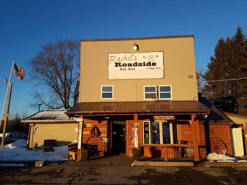
Riders who have done both say the western stretch toward Weston is the best maintained. The Eland to Bowler stretch is more remote and has had downed trees. Parking for both trails in Eland is on Wheeler Avenue by the local museum, and there is a tavern in the village.
West of Eland, the Mountain-Bay shares about 2 miles of its route with the Ice Age National Scenic Trail, the 1,200-mile hiking trail across Wisconsin.
Parks next to the trail in Wittenberg
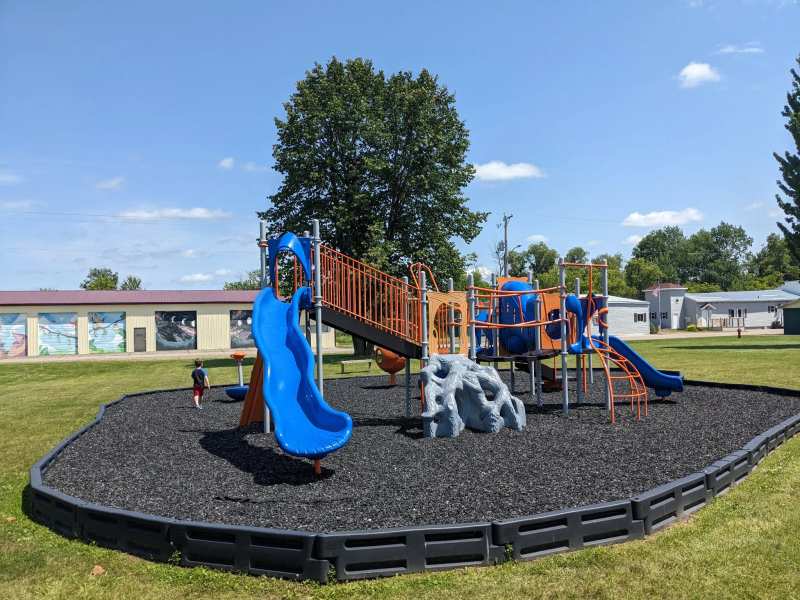
Wittenberg's parks make good rest stops or starting points, and all are free and open 6am to 11pm. Panic Park, Washington Park and Pond Park are all within about a mile and a quarter of downtown.
Panic Park, 1.2 miles northeast of downtown, has a nine-basket disc golf course on the river, with small rapids under the bridge. Washington Park has restrooms, shelters and the bandshell, and Pond Park has grills and a shelter with electricity, which makes it the easy picnic stop for a group ride.
The southern section, briefly
The southern Wiouwash is a separate trip, 22 miles from Hortonville to Oshkosh, about 43 miles southeast of Wittenberg at its northern end. It is more open, with wetland and long views of Lake Butte des Morts, passes through the 4,000-acre Rat River Wildlife Area, and any standard bike can ride it.
North of Larsen it connects to the Friendship State Trail toward Menasha. The two sections are not joined, so plan them as separate days.
When to ride
Late May through October is the riding season on the northern Wiouwash. June brings the most rain, so expect soft spots, and the shade and bugs both peak in midsummer. September and October are the best months, with dry ground, cooler air and fall color. The month-by-month picture is in Wittenberg weather by season.
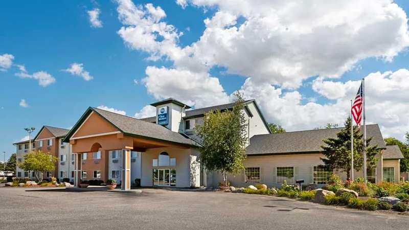
For a weekend on the trail, book the Best Western at the interchange for the indoor pool and breakfast, or camp at Wilson Lake. Both options, and the Ho-Chunk tower, are compared in Wittenberg hotels and camping.
Frequently asked questions
Published September 28, 2026