
Viroqua is not on the way to anywhere, which is part of its appeal and part of the planning. So where is Viroqua, Wisconsin? It is the county seat of Vernon County, in the hills of the state's southwest corner, about 27 miles southeast of La Crosse and the Mississippi River in a straight line.
There is no train station or airline service in town, but five highways meet here, so driving in is simple. Here is how to get to Viroqua by car, bus or plane, and what the drive is like once you leave the interstate.
Sponsored
Where is Viroqua?
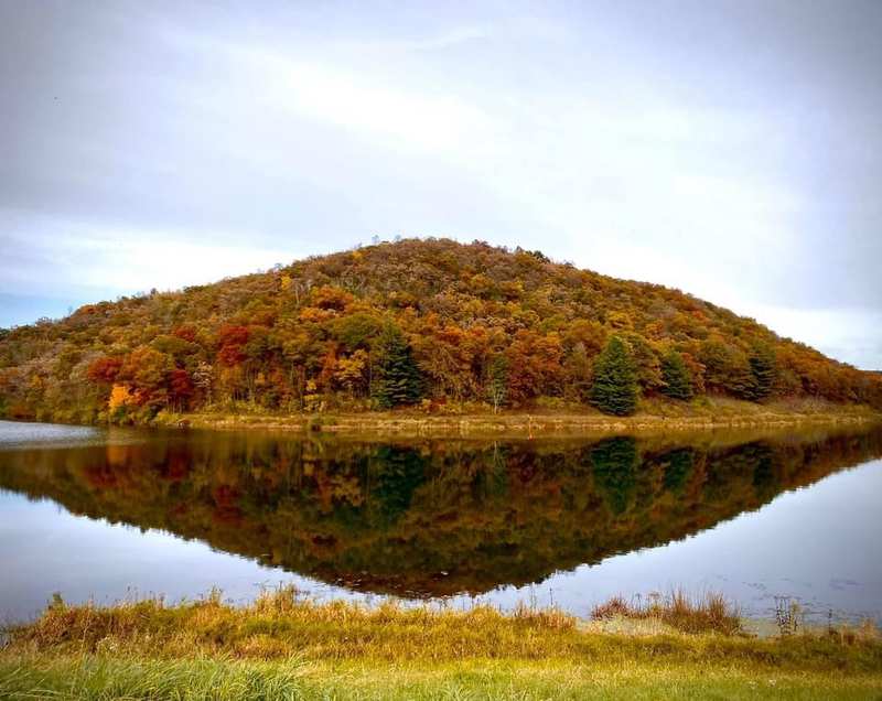
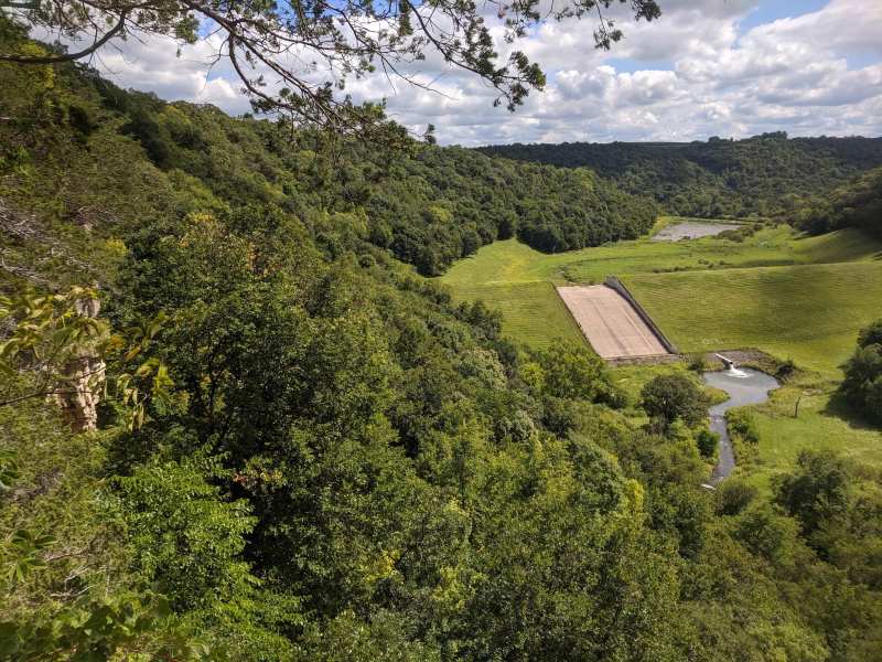
Viroqua sits on a ridge in the Driftless Area of southwest Wisconsin, near the western end of the hills known locally as the Ocooch Mountains. It lies between the Mississippi River valley to the west and the Kickapoo River valley to the east, with a 2020 population of 4,504.
On a map, it is roughly halfway between La Crosse and the Wisconsin Dells, and closer to the Iowa and Minnesota borders than to Madison. The town's coordinates are about 43.56 north, 90.89 west.
Driving to Viroqua: the five highways
Five highways meet in Viroqua: US 14, US 61, Wisconsin 27, Wisconsin 56 and Wisconsin 82. Main Street is the highway through town, so you arrive right downtown whichever way you come.
US 14 and US 61 run together through town and are the main routes in from La Crosse to the north and Madison to the southeast. The three state highways fan out to the smaller towns around Viroqua.
Expect two-lane roads for the last stretch from every direction. The ridgetop highways are straight and open, while the roads that drop into the valleys are steep and winding, so take your time and watch for farm equipment and Amish buggies.
Stops on the way in
Coming from La Crosse, US 14 and 61 run through Westby about 7 miles before Viroqua. Stop for a pastry at Kvarnstrom Bakery, or, later in the day, for a glass on the deck at Branches Winery, which serves wood-fired pizza on a deck over the hills.
From the Sparta and Tomah side, Wisconsin 27 comes down through Cashton, about 14 miles north-northeast of Viroqua, where Local Buzz Coffee House makes espresso, smoothies and baked goods. Either way, you are on the ridge roads for the last stretch, with views over the coulees.
How far is Viroqua from nearby cities?
These are straight-line distances from downtown Viroqua. Road distances are longer, because the highways follow the ridges and valleys rather than a straight line.
| From | Straight-line distance | Direction from Viroqua |
|---|---|---|
| La Crosse | About 27 miles | Northwest |
| Wisconsin Dells | About 56 miles | East |
| Madison | About 82 miles | East-southeast |
| Rochester, Minnesota | About 85 miles | West-northwest |
| Minneapolis | About 153 miles | Northwest |
| Milwaukee | About 154 miles | East-southeast |
| Chicago | About 202 miles | Southeast |
By road, Madison is about 94 miles away, according to route planners. From Madison, the usual route is west on US 14 the whole way, through Richland Center and Readstown into Viroqua from the south.
Getting to Viroqua without a car
Without a car, you go through La Crosse. There is no direct bus or train from Madison, Milwaukee, Chicago or the Twin Cities to Viroqua.
Scenic Mississippi Regional Transit has run a commuter bus between Viroqua and La Crosse several times a day in each direction, aimed at people who work in La Crosse, so check the current schedule before you plan around it. From Madison, Jefferson Lines buses run to La Crosse, and from there you need the local bus or a taxi.
Once in Viroqua, downtown is walkable, but the parks, wineries and the Kickapoo valley are not, and there are no shuttles to them. A car, or a bike from Bluedog Cycles for the closer trips, is the practical way to see the area. Fill the tank in town before you head out to the parks and the river.
Flying into Viroqua
The nearest airport with airline service is La Crosse Regional Airport, LSE, about 29 miles northwest. Larger airports in Madison, Rochester and Minneapolis are farther but have more flights.
Viroqua has its own small field, Viroqua Municipal Airport, code Y51, for private, visiting and general aviation pilots. It has a long history: Viroqua was on the airway between La Crosse and Rockford, Illinois, when that route opened in June 1932, and a big rotating beacon stood on a farm about four miles northeast of town to guide the mail planes.
By train
Amtrak's long-distance Empire Builder stops in La Crosse on its route between Chicago, Milwaukee and the Twin Cities. From the La Crosse station, Viroqua is about 27 miles southeast, so you will need a rental car, a taxi or the regional bus to finish the trip.
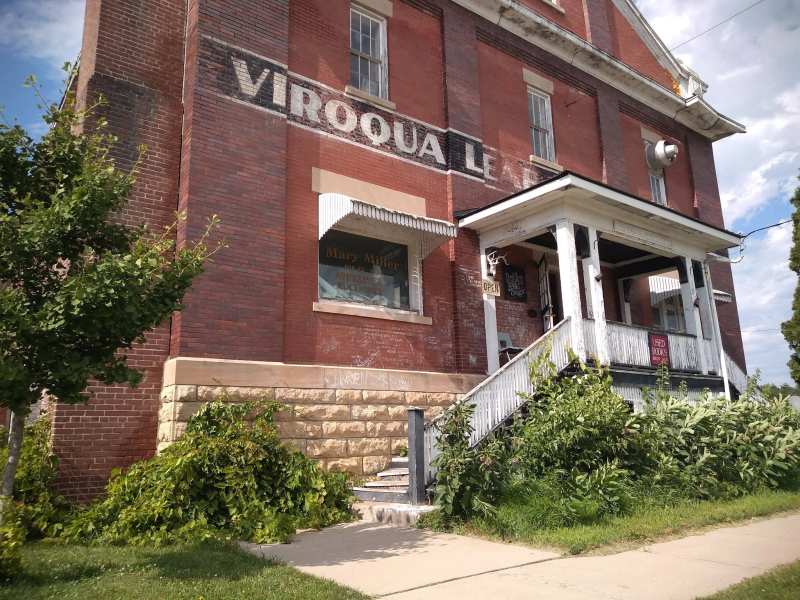
Viroqua itself once had rail service: a Milwaukee Road branch line ran in from Sparta through Cashton and Westby. The line is long gone, but you will see its traces in the old warehouses near downtown.
Arriving: where to park and charge
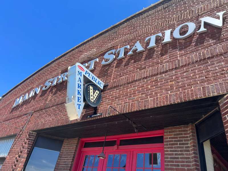
Parking downtown is free, on Main Street, on the side streets and in the public lots, including the one by the Public Market.
Driving in winter
Viroqua averages about 30 inches of snow a year, mostly from November through March, and the open ridgetops catch wind and blowing snow. The main highways are kept clear, but the steep valley roads can ice over.
Carry a winter kit in the car, allow extra time, and check the National Weather Service forecast for La Crosse before you set out. Plan around Viroqua's winter weather, which brings about 11 inches of snow in January alone.
Once you are here
Main Street runs north and south through town, and addresses count north and south from Court Street, so 100 North Main and 100 South Main are a block apart on either side of the main corner. The Hotel Fortney stands right on that corner at 100 North Main, and the Temple Theatre is a few doors south at 116 South Main. The restaurants, shops and theatre all sit within a few blocks of that corner.
From there, the theatre, trails and trout water that bring people to Viroqua are all close, from Main Street to the Kickapoo valley about 13 miles east.
Frequently asked questions
Published August 17, 2026