

Sponsored
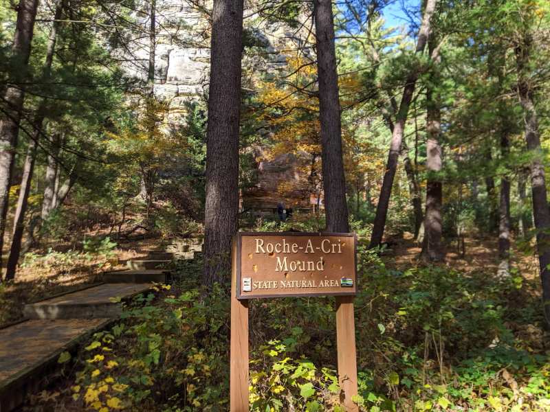
There is one place in Wisconsin where the public can walk up to ancient rock art, and it sits at the foot of a 300-foot sandstone mound two miles north of Friendship. Roche-A-Cri State Park has protected the mound and its carvings since 1948. The federal place-name database drops the hyphens and lists it as Roche a Cri, so you will also see it written Roche a Cri State Park on maps and road signs.
It is a small park, and you can see it properly in a morning: the stairway, the carvings, a loop through the woods. That is part of the appeal. Nothing here takes a full day, so it pairs easily with the lake or the village.
What is Roche-A-Cri State Park?
Roche-A-Cri is a Wisconsin state park on the west side of WIS-13, about 1.5 miles north of Friendship by the DNR's measure, built around a single flat-topped sandstone mound with Native American petroglyphs and pictographs at its base.
It sits inside a pair of state natural areas. Roche-A-Cri Mound State Natural Area covers the 25 acres around the mound itself, with old-growth pine and oak, and Roche-A-Cri Woods State Natural Area takes in 442 acres of big white pine and oak on both sides of the highway.
Getting there and parking
The main entrance is on the west side of WIS-13, about 1.5 miles north of Friendship, and it is well signed from the highway. Outdoorsy puts the drive at around an hour and a half from Madison, the nearest big city.
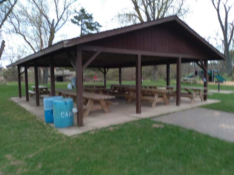
Parking is in lots by the office and the picnic areas, and the entrance and parking lot are wheelchair accessible, as is the petroglyph viewing platform. The roads inside are easy for RVs, with few tight turns, and there is a dump station near the office.
The Friends of Roche-A-Cri State Park run events through the year, including an annual photography contest, summer naturalist programs and a fall pumpkin walk. Ask at the park office for the current schedule, or join the Friends group there if you want to help with the prairie work.
The stairway to the top
The stairway climbs 303 steps to an observation deck on top of the mound, with resting places on the way up. It is open from 6 a.m. to sunset, and the DNR does not allow food, drinks or pets on it.
From the top, the land office that maps this county says you can pick out 10 counties, several lakes and Friendship Mound to the south. Be ready for one honest caveat: trees have grown up around the summit, and reviewers say they now block part of the panorama, so the view is wide but not a full circle.
The steps are wooden and steep in places. If you have bad knees, take the landings slowly, and go early on a summer day, before the deck heats up and the parking lot fills.
The petroglyphs and pictographs
The rock art is on the base of the mound's south face, and you see it from an accessible viewing platform with a wayside exhibit, so there is no scrambling involved.
The carvings include ancient bird symbols, and a painted figure shows a man with a thunderbird. Travel Wisconsin puts some of the carvings at more than 1,000 years old, and there are later carvings too, added in the 1700s and 1800s. The DNR notes that the sheer amount of rock art here suggests the place had special significance to the people who made it.
French explorers in the 1600s and 1700s already used the mound as a landmark, and a government survey in 1851 recorded "hieroglyphs of antiquated appearance" on its side and in a cave. Look, photograph, and keep your hands off the rock. There is a selfie stand to the right of the platform if you want the picture without leaning on anything.
What does Roche-A-Cri mean?
Roche-A-Cri is French, and the sources disagree on the translation. The DNR's main park page says it means "screaming rock," while the park's longer descriptions translate it as "crevice in the rock," after the big cleft in the mound's south face.
Both readings fit what you see. The cleft is the most obvious feature from the road, and the French explorers who named it were looking at a rock that stood alone above flat country for miles.
Trails, prairie and Carter Creek
Roche-A-Cri has more than five miles of trail, mostly through oak and pine woods, with a 1.2-mile park road loop for cars. Trail names include Acorn, Eagle Ridge, Mound, Chickadee Rock Nature, Spring Peeper and Turkey Vulture.
The Turkey Vulture trail is named honestly. The DNR says the birds use the high mound as a summer roost, so you will often see them riding the air above the cliffs. On the ground, reviewers describe the paths as wide and well kept, past a small creek and a picnic area.
The park also has large areas of restored prairie. One big field was converted to prairie in 1996, and the Friends of Roche-A-Cri State Park have planted more prairie just south of the park on Czech Avenue.
Carter Creek runs through the park and holds brook and brown trout along with some panfish. You need a Wisconsin fishing license, which you can buy online, and the park does not rent gear.
Camping at Roche-A-Cri
The campground has 41 rustic sites, and only four of them have electric hookups. Every site has a picnic table and a fire pit, there is water in the campground and a dump station near the office, and dogs are welcome on a leash.
Set expectations before you book. The toilets are pit toilets and there is no shower house, and reviewers say the sites sit fairly close together, so privacy is limited. On the plus side, the firewood sold at the park gets good reviews, and you are a short walk from the stairway and the creek.
Register at the park office or use the self-registration box in the office parking lot before you set up. The campground is small, so book well ahead for summer weekends, and keep RVs to 40 feet or under.
Rules, hunting season and dogs
Dogs are welcome in Wisconsin state parks on a leash and under control, but they cannot go on the stairway and some areas are off limits. Hunting and trapping are allowed in the park's open areas during the state park hunting season, so wear something bright on the trails in late fall.
Day-use areas are closed to hunting, and you cannot hunt within 100 yards of a trail. If you are hunting, pick up the current map of open areas at the office.
Roche-A-Cri in winter
The park stays open in winter, but the main entrance closes, so park in the lot on the north side of Czech Avenue, west of WIS-13. Snowshoeing and cross-country skiing are popular, though the trails are not groomed, which makes deep snow hard going for beginners. Knowing how cold Friendship gets in January helps you dress for it.
How the mound got here
Roche-A-Cri Mound is a sandstone mesa from the late Cambrian period that was once a rocky island in Glacial Lake Wisconsin. When the lake drained, the island was left standing about 300 feet above the flat central sands, with cliffs on its sides and a flat top.
The sandstone is still wearing away, crumbling along its joints and edges and blowing off as sand, and a marker on the west side of the mound explains the glacial history. Friendship Mound, just north of the village, is a smaller mound of the same kind.
The state first bought the land in 1937 as a roadside area, a 300-foot strip on each side of the highway, and made it a state park in 1948. In the summers of 1982 and 1983, when the DNR's budget fell short, the Adams County Chamber of Commerce ran the park. It sits at the top of the list of everything else around Friendship, along with the lakes and the county fair.
Eat and sleep near the park
The nearest food and beds are up and down WIS-13 within two miles of the park entrance, with the village and its Main Street two miles south.
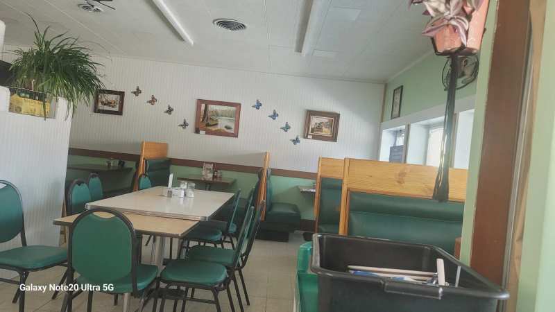
For breakfast before the climb, 2 Brothers Restaurant is 1.7 miles north of the park where WIS-21 meets WIS-13. It runs a daily special for each day of the week, from meatloaf on Monday to barbecue ribs on Thursday and a Friday fish menu, and it offers overnight parking and showers for travelers.
If you would rather sleep in a cabin on Friendship Lake, Friendship Island Resort is about two miles south of the park, with a private sand beach and a pier. Back in the village, the fish fry kitchens are spread across Friendship’s diners and supper-club bars.
Pair it with the lake
Roche-A-Cri is 9 miles northeast of Adams County Castle Rock Park, so a climb in the morning and an afternoon on the water make an easy day. The park's own history makes the link: the mound was an island in the glacial lake whose bed Castle Rock Lake now fills, and launches and lakeside tacos on Castle Rock Lake are the obvious second half of the day.
Frequently asked questions
Published September 21, 2026