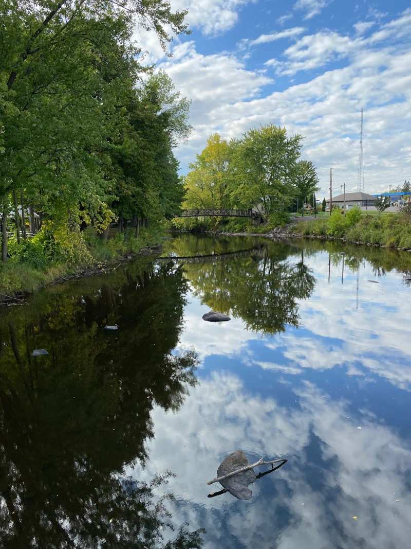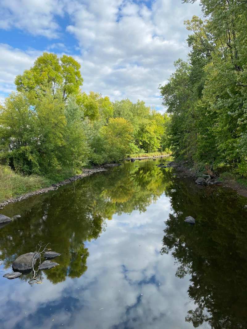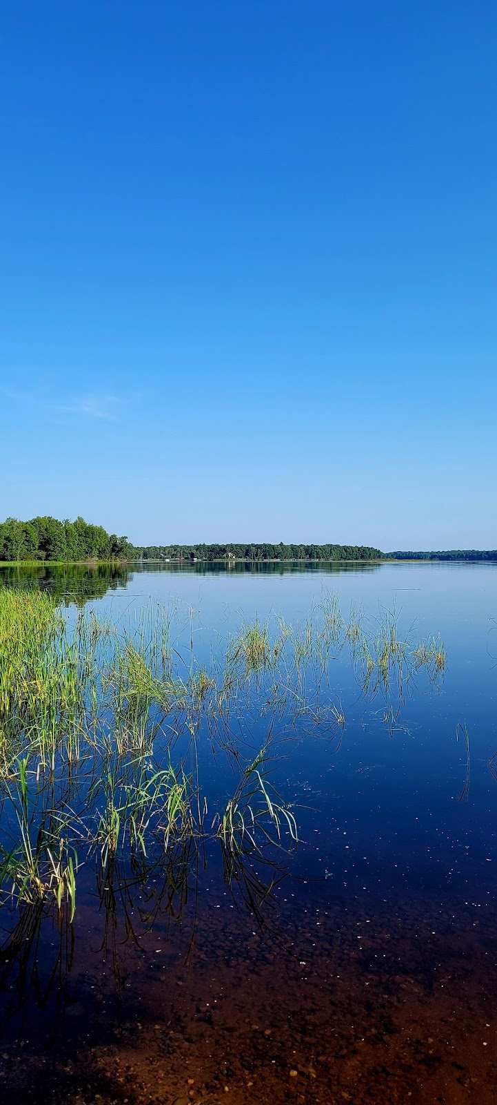
Five miles northeast of Gilman, the Yellow River backs up behind a county dam into a long, shallow, stump-filled reservoir, and that water is the main reason anglers come this way. Locals call it Miller Dam Flowage, or just Miller Dam. The maps and the Forest Service call it Chequamegon Waters Flowage. It is the same water.
This covers what the flowage is, how it fishes, where to launch, how winter changes it, where to camp and eat on the shore, and how to get there from the village.
Sponsored
What and where Miller Dam Flowage is
Miller Dam Flowage is a reservoir on the Yellow River about five miles northeast of Gilman, created when Taylor County finished Miller Dam in 1967.
The Wisconsin DNR lists it at 2,366 acres with a maximum depth of 22 feet. Other sources put the surface larger, closer to 2,700 acres, so treat it as roughly 2,400 acres and mostly shallow. That shallowness is the whole character of the place: flooded timber, stumps, weed beds and quiet bays, with the Chequamegon-Nicolet National Forest along much of the eastern shore. The water is not clear: fishing references rate its clarity as low, which suits the fish it is known for.
The dam sits at the south end, by County Road G. A Forest Service road causeway crosses the flowage further north, and the campground and the motorized trail are on the east side. Gilman is the nearest village, with Jump River to the north and Perkinstown to the east.
Fishing Miller Dam
Miller Dam is a largemouth bass and panfish lake first, with northern pike close behind and good crappie when you find them.
The DNR rates panfish and largemouth bass as abundant here and northern pike as common, and anglers' catch logs add black crappie and bluegill. The Miller Dam Lake Association goes further and calls it the premier bass fishing lake in the Midwest. That is the association's claim, but the bass reputation is real enough that, according to the DNR's fishery plan, some locals have complained about bass tournaments and club anglers crowding the landings.
The structure is the draw. Between 1999 and 2001 the association sank about 50 timber fish cribs, adding to the stumps and flooded timber already there. Shore fishing works too, and in spring and summer it can be as productive as fishing from a boat. One angler's crappie tip is worth passing on: walk down to the dam and fish off the edge of the concrete wall that sits about a foot under the surface.
Regulations, size limits and seasons change, so check the DNR's lake page for Chequamegon Waters Flowage in Taylor County before you fish. A Wisconsin fishing license is required.
Boat landings and getting on the water
The DNR counts five public boat landings on the flowage, and the one most people use is the county launch by the dam on County Road G.
The other landings are spread around the shore, including the ramp inside Chippewa Campground on the east side. Most of the flowage is shallow and stumpy, so take the first trip slowly, trim up and watch the water ahead. If you are fueling a boat motor, Hooked at Outboards on County Road M has a no-ethanol pump.
Ice fishing season
Winter is when most locals fish Miller Dam. In a survey sponsored by the lake association, ice fishing came out as the number one reason people use the flowage, ahead of boat and shore fishing.
The association's ice-fishing contest is its biggest day and its main fundraiser, held on a Saturday in late January with the weigh-in, raffles and drawings based at the county launch on County Road G next to the dam. The fish boards fill up fast. Check the association's page for the current year's date.
Ice forms and thickens differently every year, and a shallow flowage full of timber and inflows can have weak spots. Ask at the bait shop or the bar before you walk out, and do not trust someone else's tracks. Gilman's winters are long and cold, with January nights near 3°F on average, so the season is reliable even when the first ice is not.
Camping on the flowage
Chippewa Campground on the east shore is the main campground, open from May 20 to September 30. On the west side, off County Road G, there is free dispersed camping, open all year.
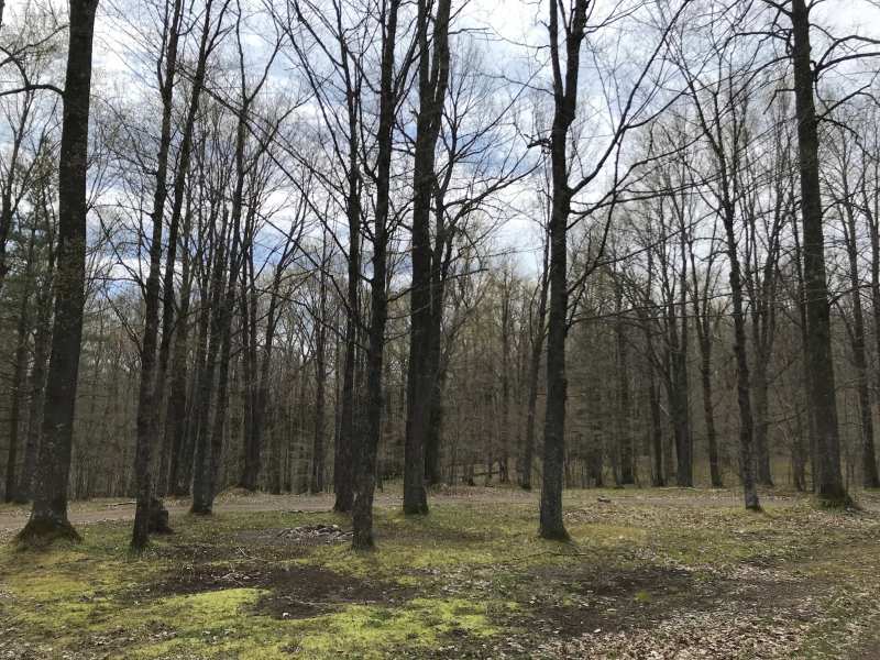
The Forest Service runs Chippewa Campground on the east shore, about six miles northeast of Gilman. Its mailing address says Medford, but it sits on Miller Dam, much closer to Gilman than to the county seat. There are 78 sites across four paved loops. Of those, 41 can be reserved through Recreation.gov, and the rest are first come, first served. Three loops have flush toilets and hot showers, and the Bass Loop has electric sites. There are two sand beaches, a fishing pier, a boat landing, a playground, a fish-cleaning station and a dump station near the entrance, and the sites are heavily wooded, each with a table and a fire ring. RVs up to 40 feet fit. The access road is not plowed in winter.
If you would rather sleep in the village, Gilman keeps eight riverbank sites at Scout Park, on the Yellow River about five miles back down the road.
Fish fry and prime rib on the water
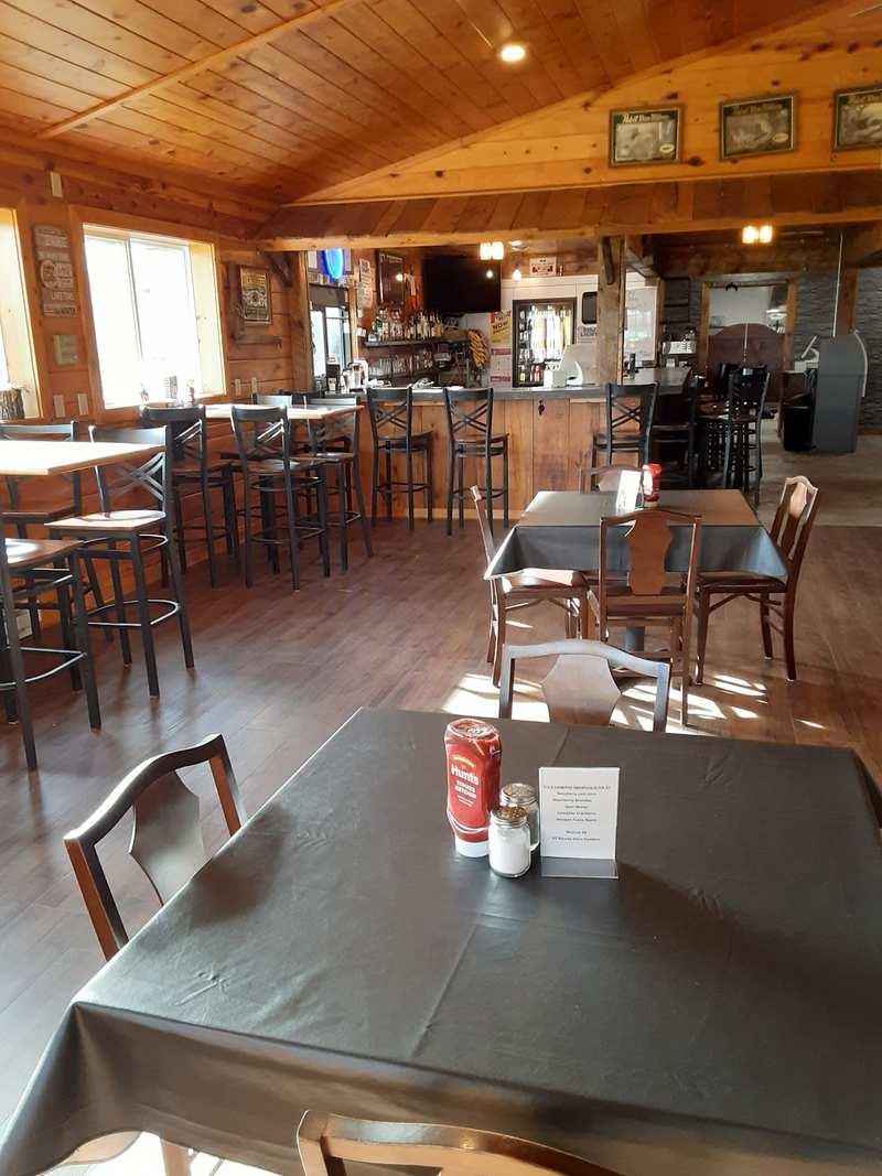
Two bar-and-grills work the lake: Longshot at Miller Dam by the dam, and Hooked at Outboards on the west side on County Road M.
Trails off the flowage
The 20-mile Perkinstown Motorized Trail starts at Chippewa Campground and runs through the national forest to a second trailhead on Highway 64.
It is a two-way Forest Service trail for ATVs, UTVs and motorcycles in summer and snowmobiles in winter, over rolling terrain with wooden bridges, beaver ponds, wetlands and stands of hemlock, hardwoods and red pine. You need an annual or day pass. Width limits apply to ATVs and UTVs, so check the Forest Service's Medford motor-vehicle-use map before you unload. At the campground, registered campers can ride to the trailhead from the Rustic Loop only; machines are not allowed anywhere else in the campground.
Getting there from Gilman
From Gilman, County Road G runs northeast to the dam and the county landing, and County Road M runs up the west side past Outboards.
In a straight line, the dam area is about five miles northeast of the village, Outboards about seven, and Chippewa Campground about six. Coming from farther away, the lake association's route is the simplest to follow: leave Highway 29 at the Thorp exit, take Highway 73 north about 16 miles to County Road G, then head east to the landing and the pavilion. For GPS, use N4664 County Road G, which is Longshot's address beside the landing.
If you are coming in on Highway 73 north from Thorp, Gilman is the place to stop for fuel and food.
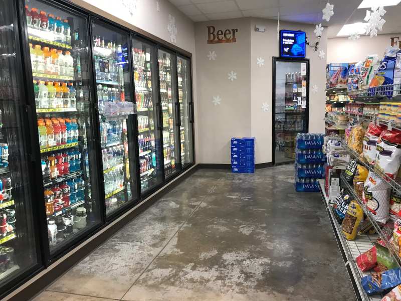
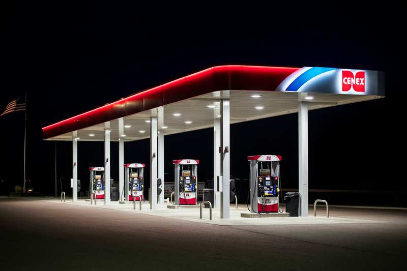
Fill the tank in the village. The Gilman Corner Store on Main Street has fuel that reviewers call the cheapest around, and its pumps run around the clock. The only pump we know of out by the water is the no-ethanol one at Outboards.
On the way back, give the village an hour. Gilman's Swinging Bridge is a short walk from Main Street.
And if you are heading out early, Amanda's Place opens at 7am and does breakfast and lunch until one, Monday to Saturday.
Frequently asked questions
Published September 28, 2026