Hiking the Ice Age Trail in West Bend puts you on one of the best-loved segments of Wisconsin's 1,200-mile glacial footpath, right at the edge of town. The West Bend segment runs about six and a half miles point-to-point through glacial ridges, kettle lakes, and quiet woods, rated moderate to difficult, and it connects to a wider web of park and rail trails that cover everything from a flat riverside stroll to a real half-day climb. Here is how to walk it, plus six more trails worth the boots.
The Ice Age Trail: West Bend Segment
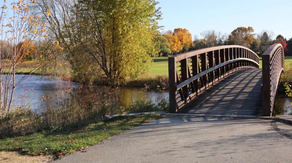
The West Bend segment runs 6.5 miles point-to-point from the Paradise Drive trailhead north through the Glacial Blue Hills and Ridge Run Park to County Highway D. It climbs from a low of about 954 feet to a high near 1,129, roughly 940 feet of total elevation gain, which is what earns it a moderate-to-difficult rating rather than an easy walk. Most hikers take a little over two hours one way. It is classic Kettle Moraine terrain: kettles, eskers, and ridges, past Lucas Lake and along Silver Creek, with a bridge crossing at the creek and long lily-covered ponds through Ridge Run Park.
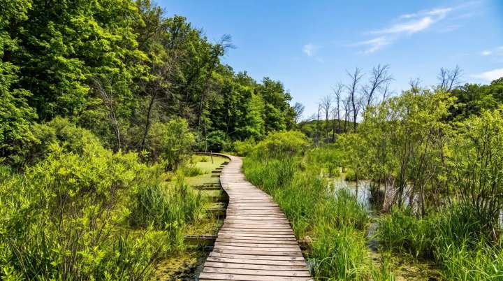
One honest caveat: the segment is split in two by Washington Street (Highway 33/144). The northern half runs through the Glacial Blue Hills Recreation Area over rugged moraine; the southern half runs down to Paradise Drive. Crossing between them means a short stretch on the road and sidewalk, so it is not a pure woods walk end to end. The boardwalk over the wetland kettle in Ridge Run has been closed for disrepair at times, with the trail detouring around it, so check current conditions if that crossing matters to you.
Trailheads and parking
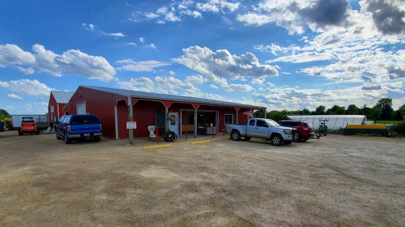
The main access is the Paradise Drive trailhead on the north side of town (GPS address 3470 W Paradise Dr), which has a dedicated lot. There is additional parking inside Ridge Run Park off Wheat Ridge Lane or University Drive, and at the Glacial Blue Hills Recreation Area. If you only want a taste rather than the full point-to-point, start at the West Bend trailhead and do an out-and-back toward Lucas Lake, turning around whenever you have had enough.
A few practicalities: no permits or reservations are needed, there is no trailside camping, dogs are welcome but must stay leashed, and hunting is not allowed in the corridor. There is drinking water at Ridge Run Park, and the town itself, with a Culver's and other services just off the trail, makes an easy resupply or lunch stop. Best months are April through October; in winter it is walkable but snow-covered, and you will want traction.
Ridge Run Park
Ridge Run Park is where the Ice Age Trail is at its best, a 140-acre county park with its own loops layered on top of the through-trail. Expect an artesian well and a small pond near the picnic area, a boardwalk crossing over a water-filled kettle, and the trail heading north along Silver Creek and its dam-formed ponds before circling and climbing a ridge. It is a known spring bird-migration spot, and the west side along the lakeshore is the prettiest stretch.
If you want a shorter, self-contained walk rather than the linear segment, the loop trails inside the Glacial Blue Hills Recreation Area are ideal for day hikers who want to end up back at the car without arranging a shuttle.
The Eisenbahn State Trail
For biking or an easier flat walk, the Eisenbahn State Trail is a crushed-limestone rail-trail that runs north-south through West Bend along an old rail line, heading toward Kewaskum and beyond. It is level, wide, and well-suited to families, road bikes, or anyone who wants distance without the elevation of the Ice Age Trail. The Rusco Road trailhead is a convenient access point on the north end.
More trails worth the boots
Beyond the Ice Age Trail, a few more walks round out the options. The Lac Lawrann Conservancy has easy loops through 137 acres of preserve close to downtown, good for a gentler outing with strong birding. Big Cedar Lake offers hiking along one of the area's larger kettle lakes northwest of town. And the downtown Riverwalk gives you a flat, paved option along the Milwaukee River when you want a short leg-stretch rather than a trek. All of them sit inside the wider network of West Bend's parks and outdoors.
When to hike and what to bring
The prime window is April through October, with fall the standout: the ridges through Ridge Run and Glacial Blue Hills turn color and the crowds thin. In October the Ice Age Trail Alliance runs its Mammoth Hike Challenge, which passes right through West Bend and is a good excuse to log miles. Summer is green but can be humid and buggy in the low wet sections, so bring water and repellent. Standard day-hiking gear is all you need; no technical equipment. And since West Bend calls itself the Geocaching Capital of the Midwest, the trail doubles as a ColdCache route if you want to give the walk a purpose.
Frequently asked questions
Published August 4, 2026